
Blue Ridge Physiography: Regional Setting
• The Blue Ridge province lies between the Piedmont on the east and the Valley and Ridge on the west.
• The Blue Ridge extends physiographically from Georgia to Pennsylvania. It is very broad to the south and very narrow to the north.
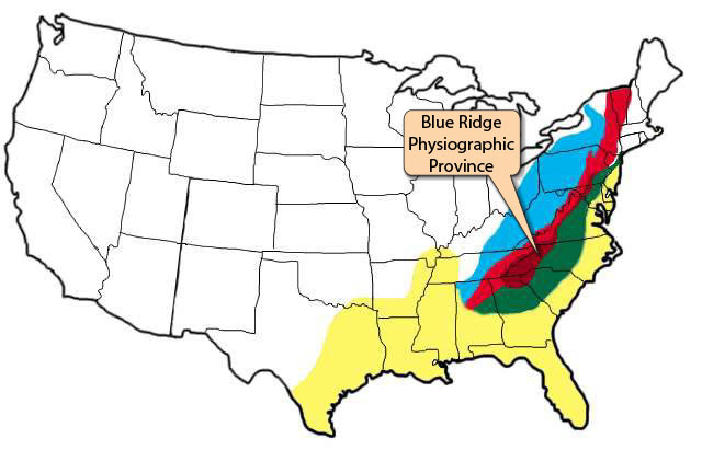
Location map showing the four major Appalachian physiographic provinces: Piedmont (green), Blue Ridge (maroon), Valley and Ridge (red), and Appalachian Plateaus (blue), and the Coastal Plain (yellow). The Blue Ridge extends from Georgia to Pennsylvania.
(Image by Phyllis Newbill. Base map courtesy of the United States Geological Survey)
• The southern Blue Ridge, called the Great Smoky Mountains, has the the highest mountains in eastern North America.
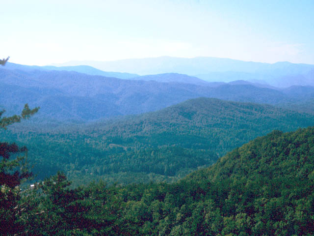
The
southern Blue Ridge, south of Roanoke, Virginia includes the highest points in Virginia, Tennessee and North Carolina. The highest of these areas is Mount Mitchell, in North Carolina, at 6,684 elevation. This image is from the Great Smokey Mountains in Tennessee. (Photograph by Robert Whisonant)
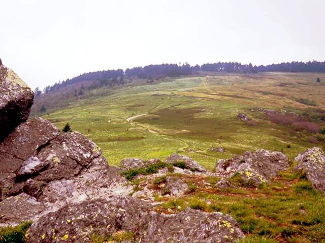
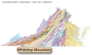 Rocks are exposed in many places in the Blue Ridge. This is Buzzard Rock on Whitetop Mountain in the Mount Rogers National Recreation Area. The rocks are volcanic rhyolites of late Precambrian age. (Photograph by Robert Whisonant)