Radford University
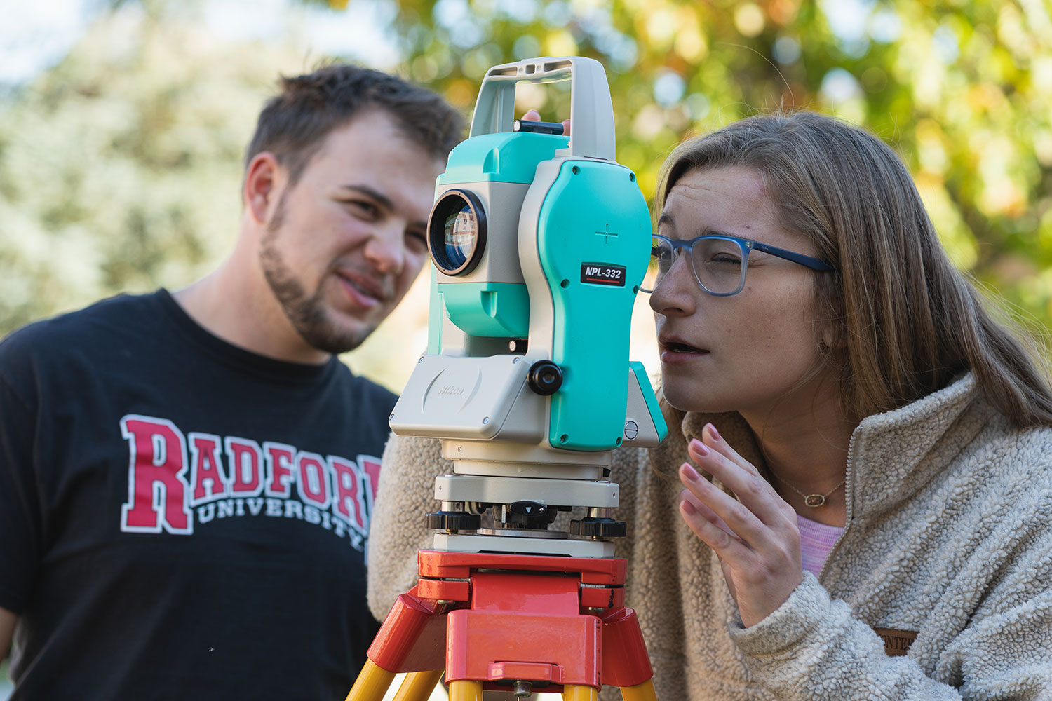
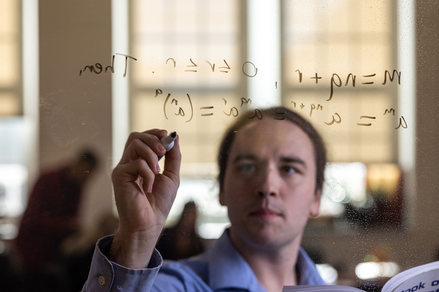
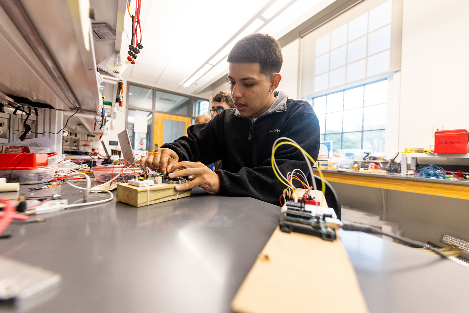
Artis College of Science and Technology
Innovation and Discovery
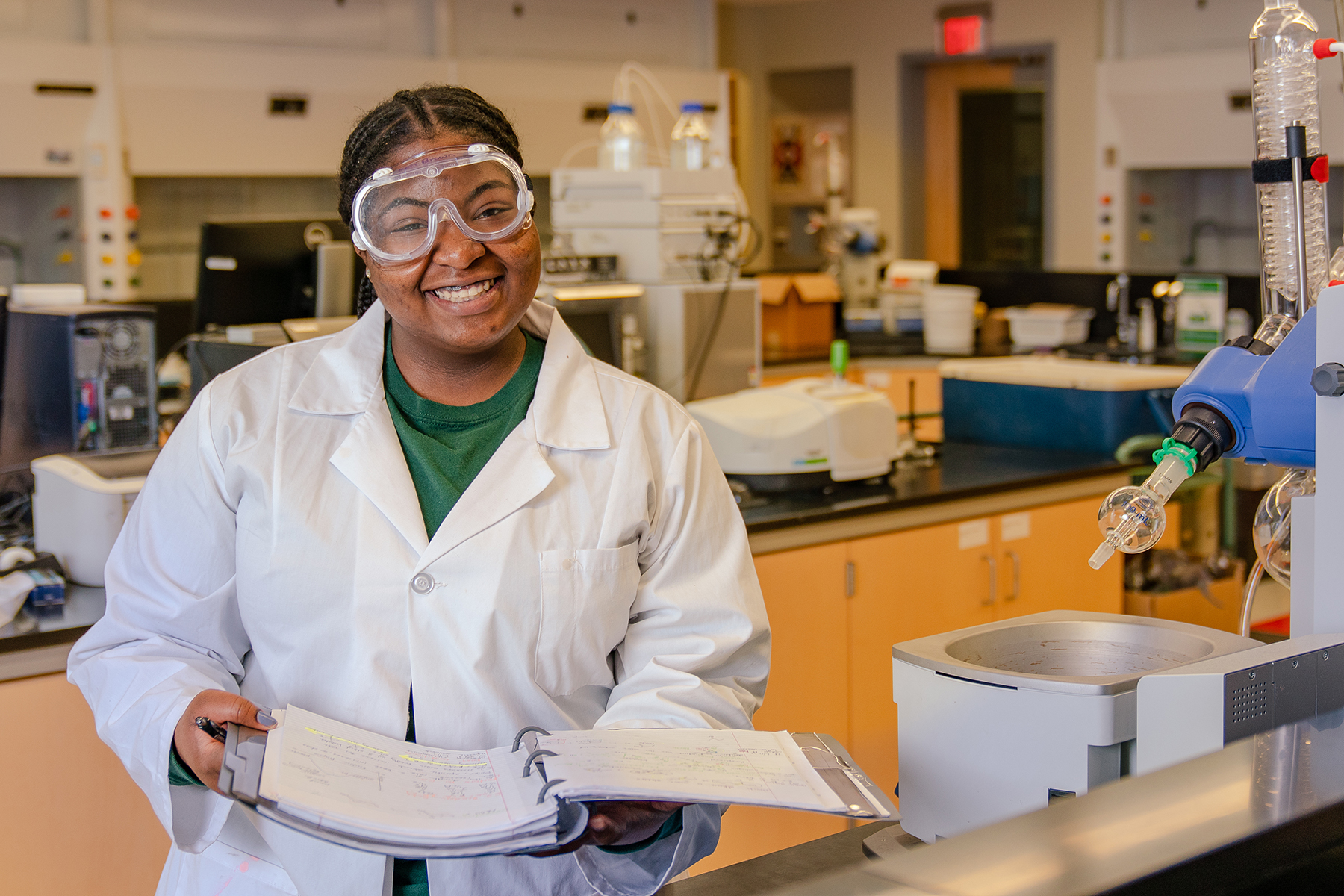
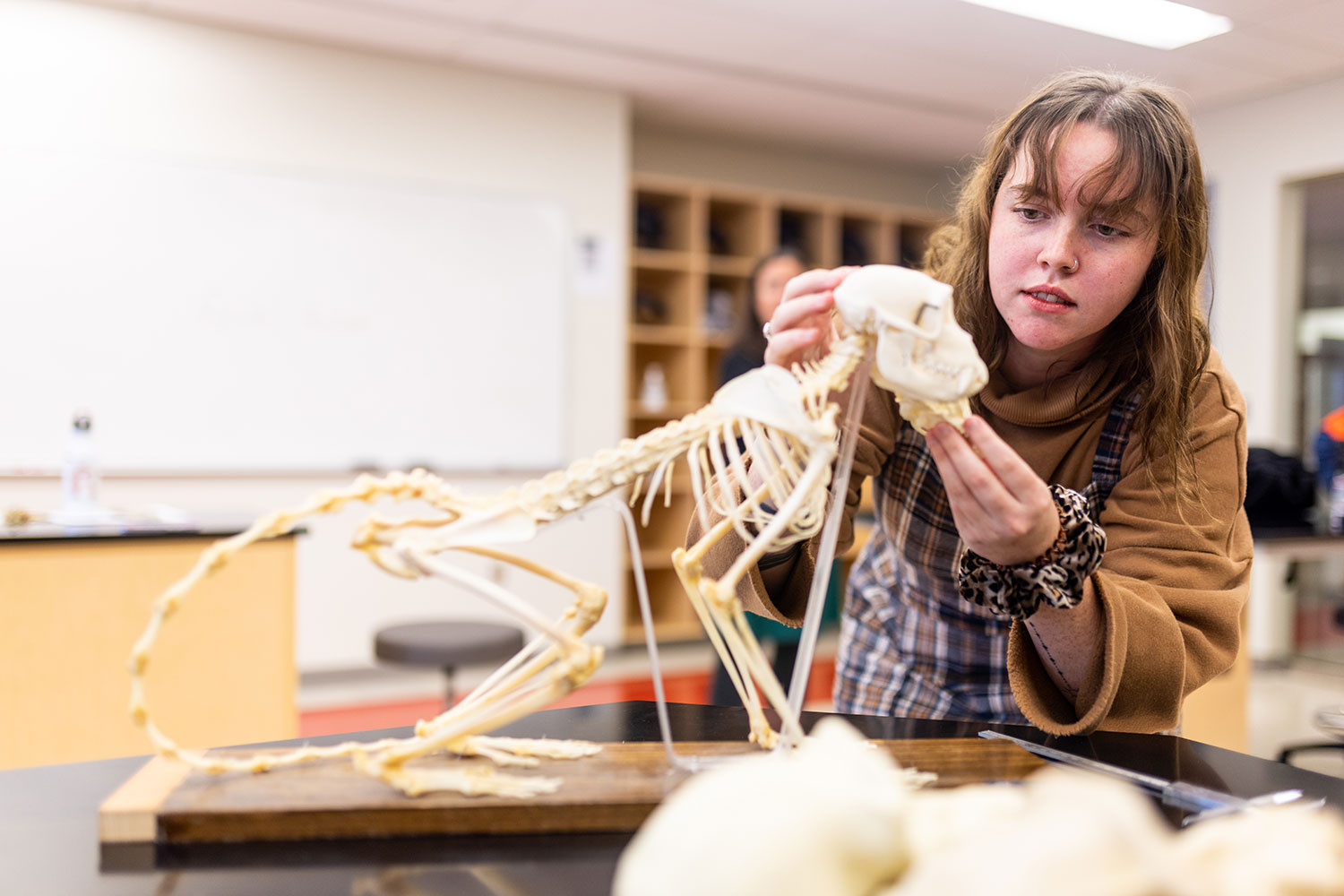
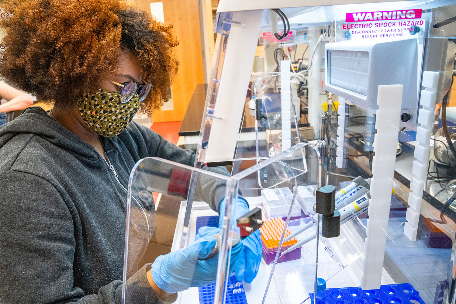
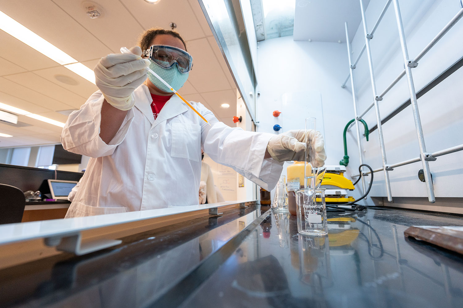
Breakthroughs in the science, technology, engineering and mathematics (STEM) fields are driving innovations that continuously transform our daily lives.
With this in mind, we prepare our students for successful careers in the STEM fields while actively engaging in real-world problem-solving.
Academic Departments and School

News
-
Radford University celebrated its Class of 2026 during Spring Commencement ceremonies held May 1-2, highlighted by an inspiring address from alumnus Eugene Naughton '89, president of The Dollywood Company.

-
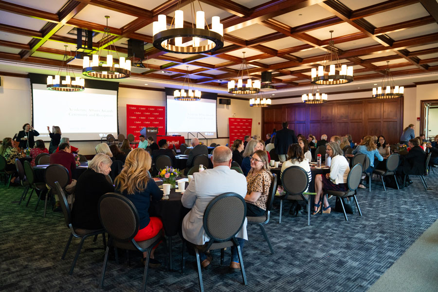
Radford University recognized an array of its most accomplished faculty and staff members at the 2025-2026 Academic Affairs Awards ceremony April 24 in Kyle Hall.
-
From here to anywhere, the Class of 2026 finds its place
April 24, 2026
At Radford University, finding your place is just the beginning. Seven graduates from the Class of 2026 share what they’re taking with them through stories and video, each symbolized by a meaningful item in a red suitcase. Together, they show how the Radford experience extends far beyond campus.