
![]()
|
|
|
|

Satellites: NOAA-15
and NOAA-17,
part of NOAA's 850km-high (530 mile-high) Polar
Orbiting satellites
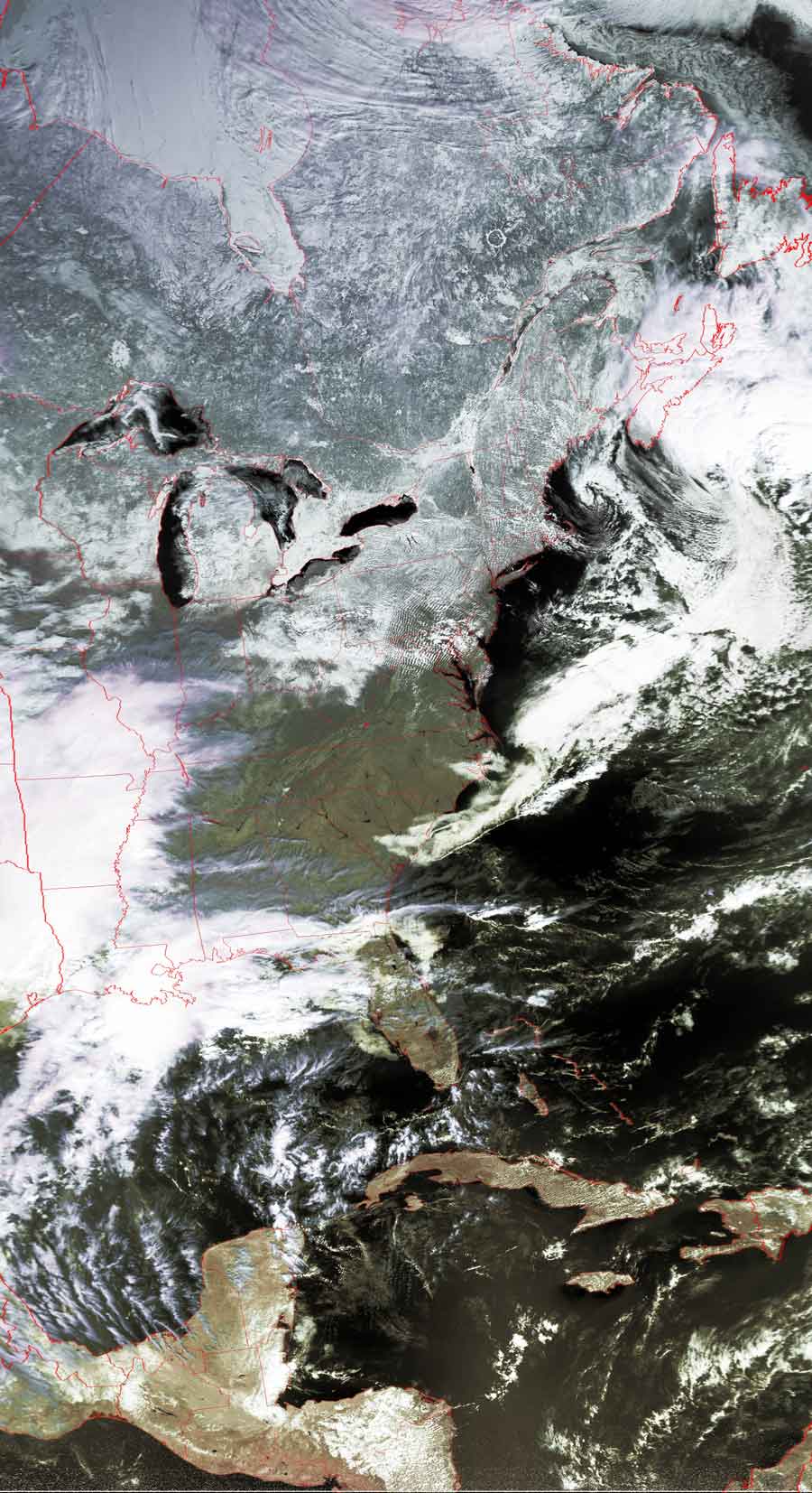
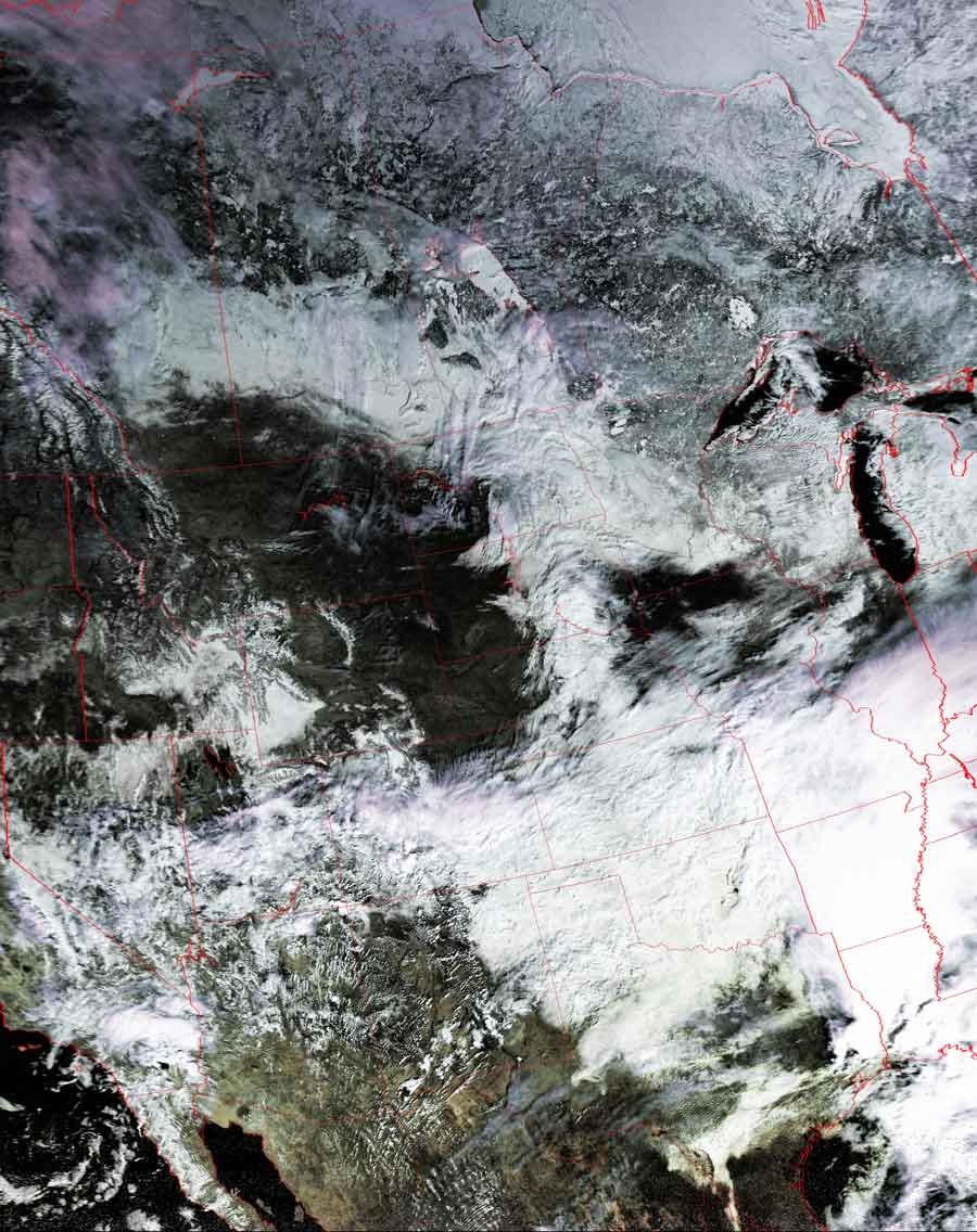
Storm A-comin'
The moisture that had been driven across the southern
US is now approaching the east coast.
The "southern jet stream" responsible for this phenomenon had been shown in a
series of three images from the Image of
the Day from Feb. 19.
In these two images, taken approximately 1:45 apart, you can see the storm
approaching the mid-atlantic states, which--at the time of the left-hand
image--were sitting under beautiful, clear, blue skies.
Click on the images below for a higher-resolution (>100k) version.
|
Image acquired~11:00am Note how clear the skies over the Carolinas and Virginia are--deceptively clear. |
Image acquired~12:45pm You can see where this southern system came from, leaving moisture in its track across the southwestern US. |
 |
 |