Radford University
Radford News
2025 Top Adventure College
#1 in the Southeast and Mid-Atlantic
Thanks to the strong support from students, faculty, staff, alumni and fans, Radford rose to the top for its incredible access to outdoor recreation, thriving campus culture and commitment to adventure. With the New River and Blue Ridge Mountains as our backyard, there's no better place to learn and explore.

Watch the Radford Raptor Cam live on YouTube
The Osprey Family is Back!
Radford is proud to share a live feed of the osprey nest that is located near our main campus as they once again return to our community.

Latest News
-
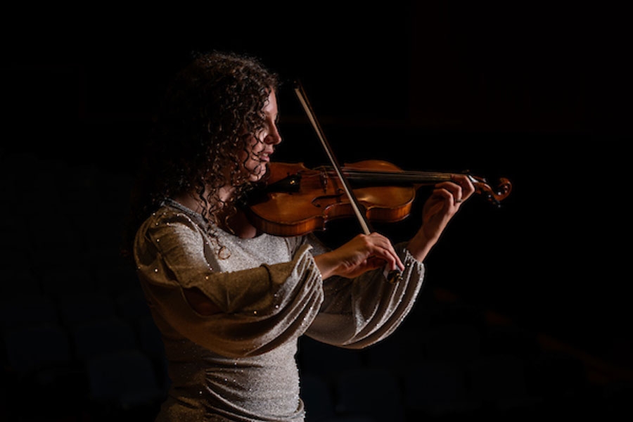
Orchestral instructor Michelle Lynn King, M.A. ’25, has earned a graduate degree as well as academic accolades for her research into the physical risks that can come with playing a musical instrument.
-
Highlanders in the News: July 2025
July 2, 2025
This month: Associate Professor Jenny Hall helps take a bit of the bite out of tick season; Assistant Professor Tanya Mitropoulos proves that it’s bad idea for dog owners to bring their work headaches home; and the story of how a summer stint on Radford’s campus for Governor’s School fueled a young actor’s fire.
-
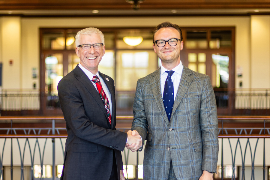
The Radford University Board of Visitors unanimously elected Tyler W. Lester ’15 as rector and Jennifer Wishon Gilbert as vice rector for 2025-26 during a virtual special meeting on June 27.
-
Kaylan Brown’s journey to Radford University wasn’t part of his original plan. In fact, he’ll be the first to tell you that the school wasn’t even on his radar.

-
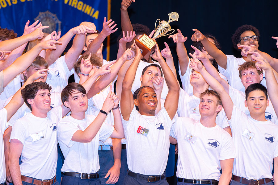
Radford welcomes Boys State ‘citizens’ to campus
June 25, 2025
Hundreds of young men from around the commonwealth gathered on the Radford University campus in mid-June for the annual Virginia Boys State leadership program.
-
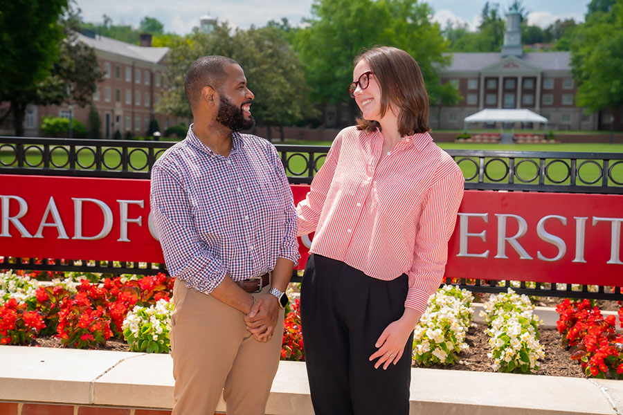
Aaron Gardner and Sara Johnson have done more than find their place at Radford. They have positively impacted a welcoming community and built a lifelong friendship along the way.
-
Gov. Glenn Youngkin announced the appointment of two new members and the reappointment of one member to the Radford University Board of Visitors, who will each serve a four-year term beginning on July 1, 2025.

-
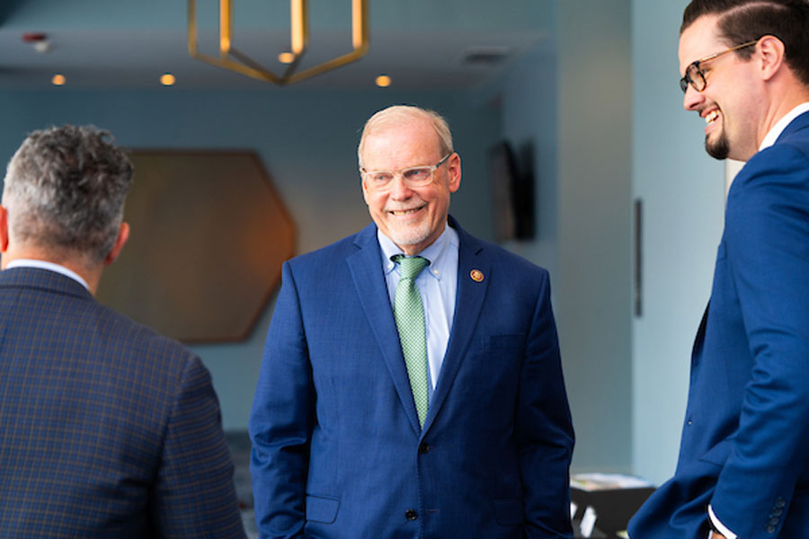
About 70 guests, including political leaders, university officials, local executives and advocates, attended the hourlong talk by U.S. Rep. Morgan Griffith, representing Virginia’s 9th congressional district.