Radford University
Artis College of Science and Technology
Innovation and Discovery

Breakthroughs in the science, technology, engineering and mathematics (STEM) fields are driving innovations that continuously transform our daily lives.
With this in mind, we prepare our students for successful careers in the STEM fields while actively engaging in real-world problem-solving.
Student Spotlight
Committees, Centers and Museums
The Artis College of Science and Technology at Radford University is home to a wide range of unique facilities that fosters curiosity, discovery, and practical experience across multiple scientific disciplines.
Academic Programs and School
News
-
Highlander Highlights: Week of Dec. 8, 2025
December 12, 2025
Highlander Highlights shares with readers some of the extraordinary research and accomplishments happening on and off campus through the tireless work and curiosity of our students, staff and faculty.

-
Find your place, take it with you: celebrating the Radford University class of winter 2025
December 10, 2025
Get to know seven graduates of the Class of Winter 2025 and the moments that made their Radford journey unforgettable.

-
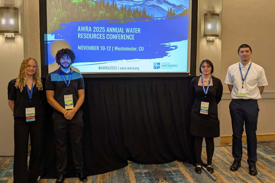
Radford students, faculty impress with research presentations at American Water Resources Conference
November 18, 2025
Four Radford University students and their mentor presented their research at the American Water Resources Association Annual Conference in Westminster, Colorado.


