|
|
|
|
|
|
|
|
|
|
![]()
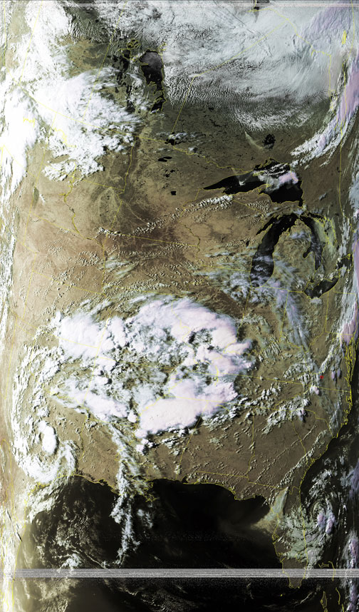
Satellites: NOAA-15, NOAA 16, NOAA 17 and NOAA-18, part of NOAA's 850km-high (530 mile-high) Polar Orbiting satellites
Evening shadows
This was taken around 7pm (eastern time) on May 10.
The clouds to the east have the longest evening shadows while those of the clouds to the west are not so long.
The remnants of sub-tropical depression Andres lie just offshore of Florida and Georgia.
Another unnamed system lies over Texas after having dumped massive amounts of rain over the midwest.