|
|
|
|
|
|
|
|
|
|
![]()
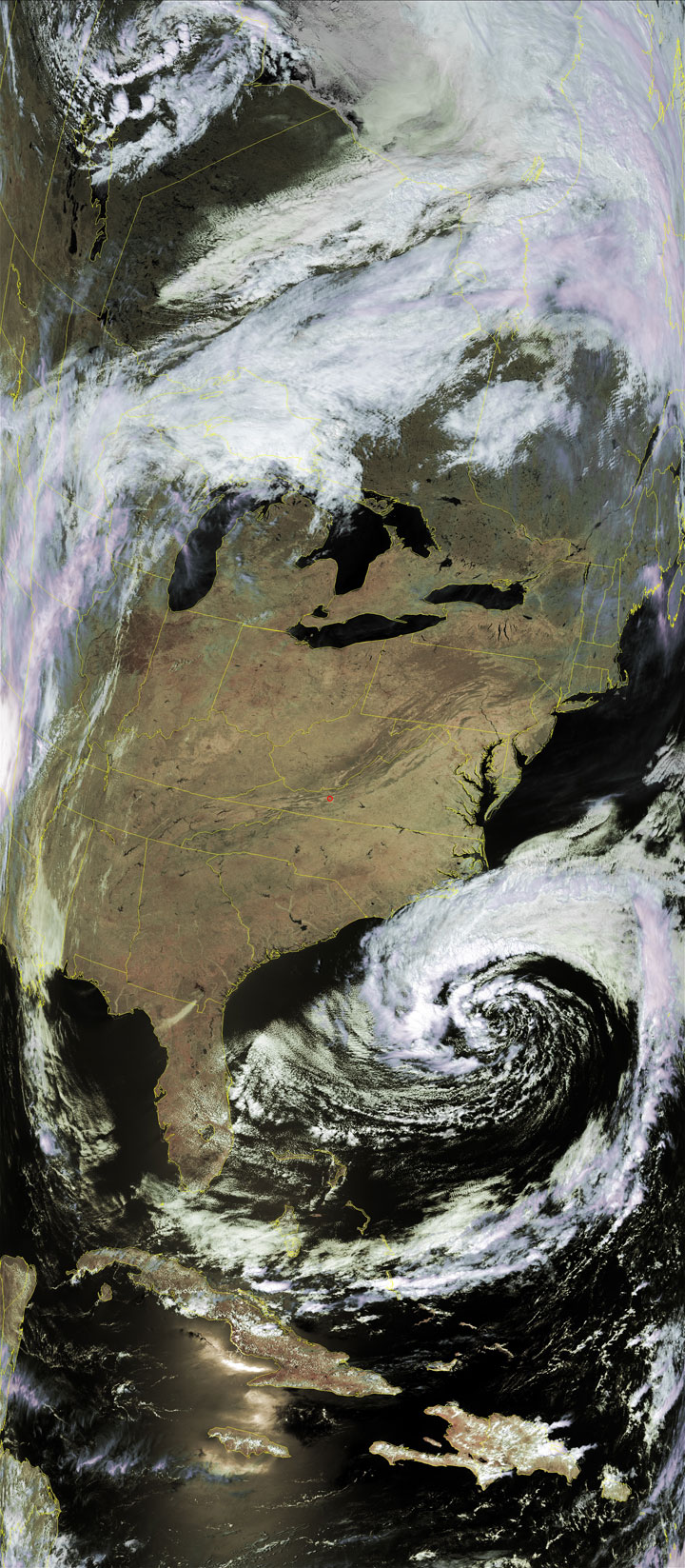
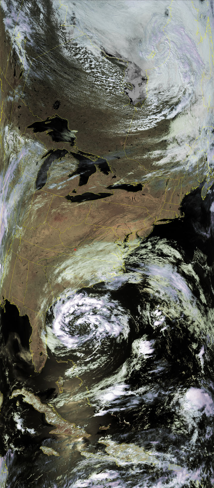
Satellites: NOAA-15, NOAA 16, NOAA 17 and NOAA-18, part of NOAA's 850km-high (530 mile-high) Polar Orbiting satellites
If this were later in the year...
...then this would have been an ominous sight to see.
The image to the left (May 7) would have shown a much stronger storm that could easily have been a hurricane,
with the image to the right (May 8) then showing the breakup of that storm.
Hopefully more will break up offshore and this one has rather than over land.Click the images for higher-resolution (>300k) versions.
| From May 7 | From May 8 |
 |
 |

