|
|
|
|
|
|
|
|
![]()
Satellites: NOAA-15, NOAA 16, NOAA 17 and NOAA-18, part of NOAA's 850km-high (530 mile-high) Polar Orbiting satellites
The end of things
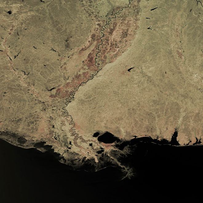
The image below shows the end of the meandering Mississippi River as it empties into the Gulf of Mexico.
New Orleans is seen as the reddish area to the south of the circular Lake Pontchartrain--you can see the Mississippi running right through the southern half of the city.
Note how there is a looooooooonnngg way for the Mississippi to go before it finally hits the Gulf!
You can get a great appreciation of how the river is constantly changing things, dumping its load of sediments and building the peninsula further and further out into the Gulf.
