|
|
|
|
|
|
|
|
|
|
![]()
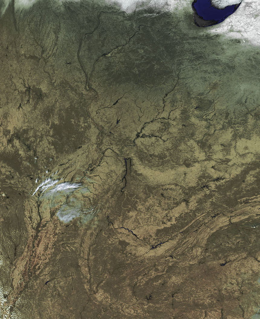
Satellites: NOAA-15, NOAA 16, NOAA 17 and NOAA-18, part of NOAA's 850km-high (530 mile-high) Polar Orbiting satellites
The convergence of the Missouri, Ohio and Mississippi Rivers
The image below was acquired by the
newly-operational NOAA 18 satellite.
It reveals the convergence of the three great rivers listed above in the
heartland of the US.
The meanderings of the Mississippi are seen exceptionally well in the
high-resolution image.
It also shows the tremendous high pressure system that is keep the mid-section
and much of the east coast of the country under blue skies.
The southernmost boundary of the storm system that has brought so much
precipitation to the northern third of the country is seen at the top of this
image.
Click on the image for a high-resolution (~300k) version.