|
|
|
|
|
|
|
|
![]()
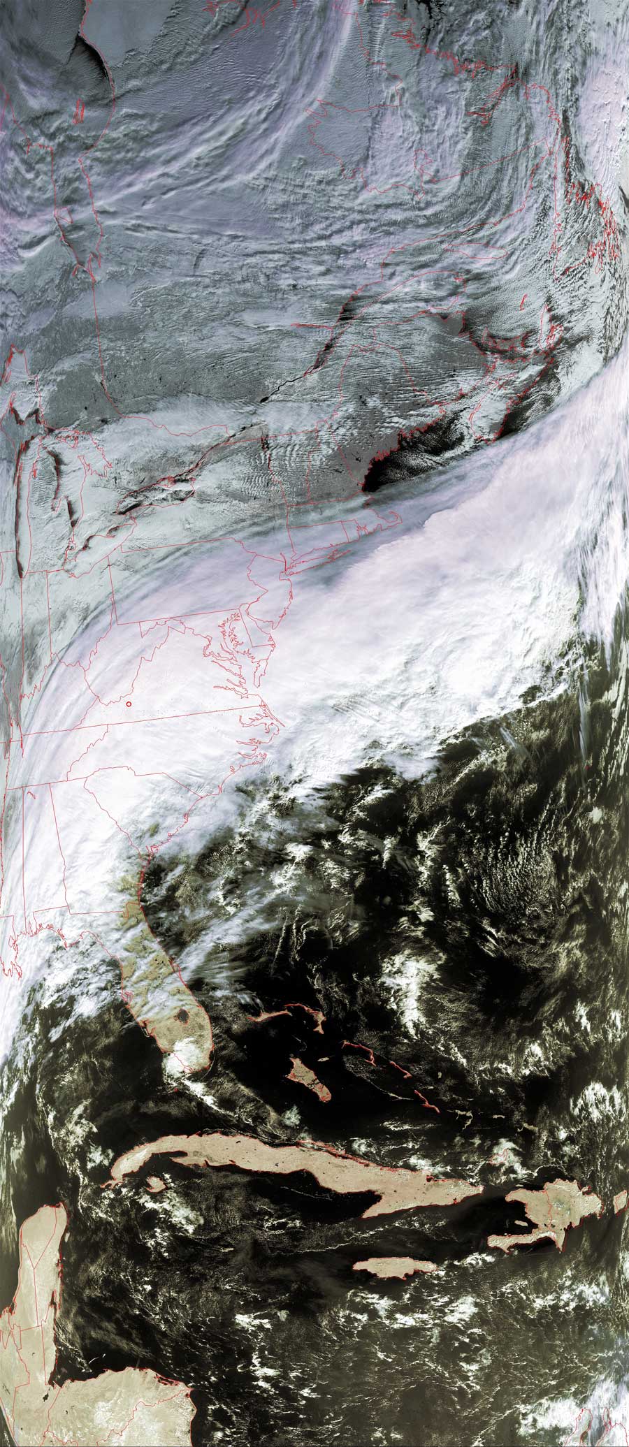
Satellites: NOAA-15 and NOAA-17, part of NOAA's 850km-high (530 mile-high) Polar Orbiting satellites
Moist air from the Gulf of Mexico mixed with cold air from
Canada which means snow today for the Mid-Atlantic states.
You can see the jet stream pushing the storm from the Gulf of Mexico out to the
Atlantic Ocean.
Click on the image below for a higher-resolution (350k) version.