|
|
|
|
|
|
|
|
![]()
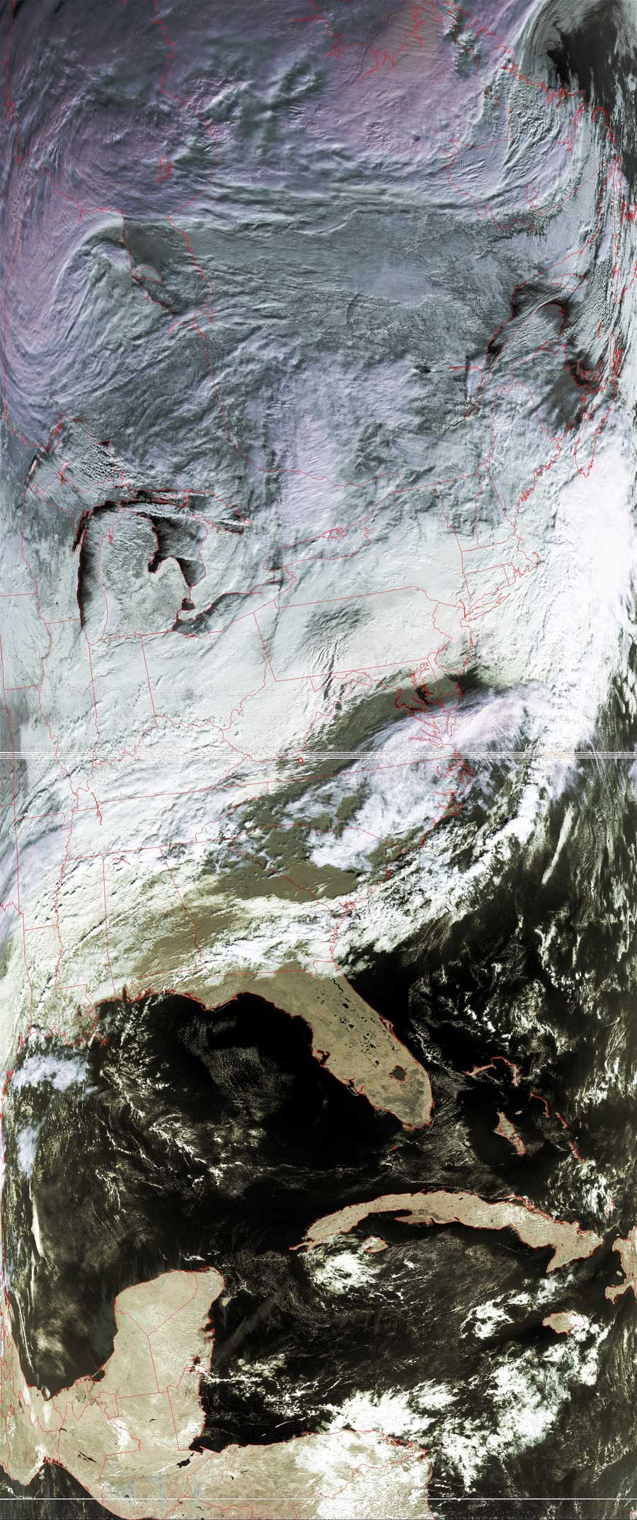
Satellites: NOAA-15 and NOAA-17, part of NOAA's 850km-high (530 mile-high) Polar Orbiting satellites
Cold air from Canada comes down to meet the warm, wet air from
the Gulf of Mexico.
An arm of the jet stream is seen sweeping down heading southeast over the Great
Lakes.
It will soon (later tonight for the US mid-Atlantic) meet the wet air pushing up
from the Gulf across Louisiana and Tennessee.
The weather forecast for the mid-Atlantic states is for heavy snow tonight, with
accumulations in the mountains of Virginia approaching a foot!
Click on the image below for a higher-resolution (350k) version.