|
|
|
|
|
|
|
|
![]()
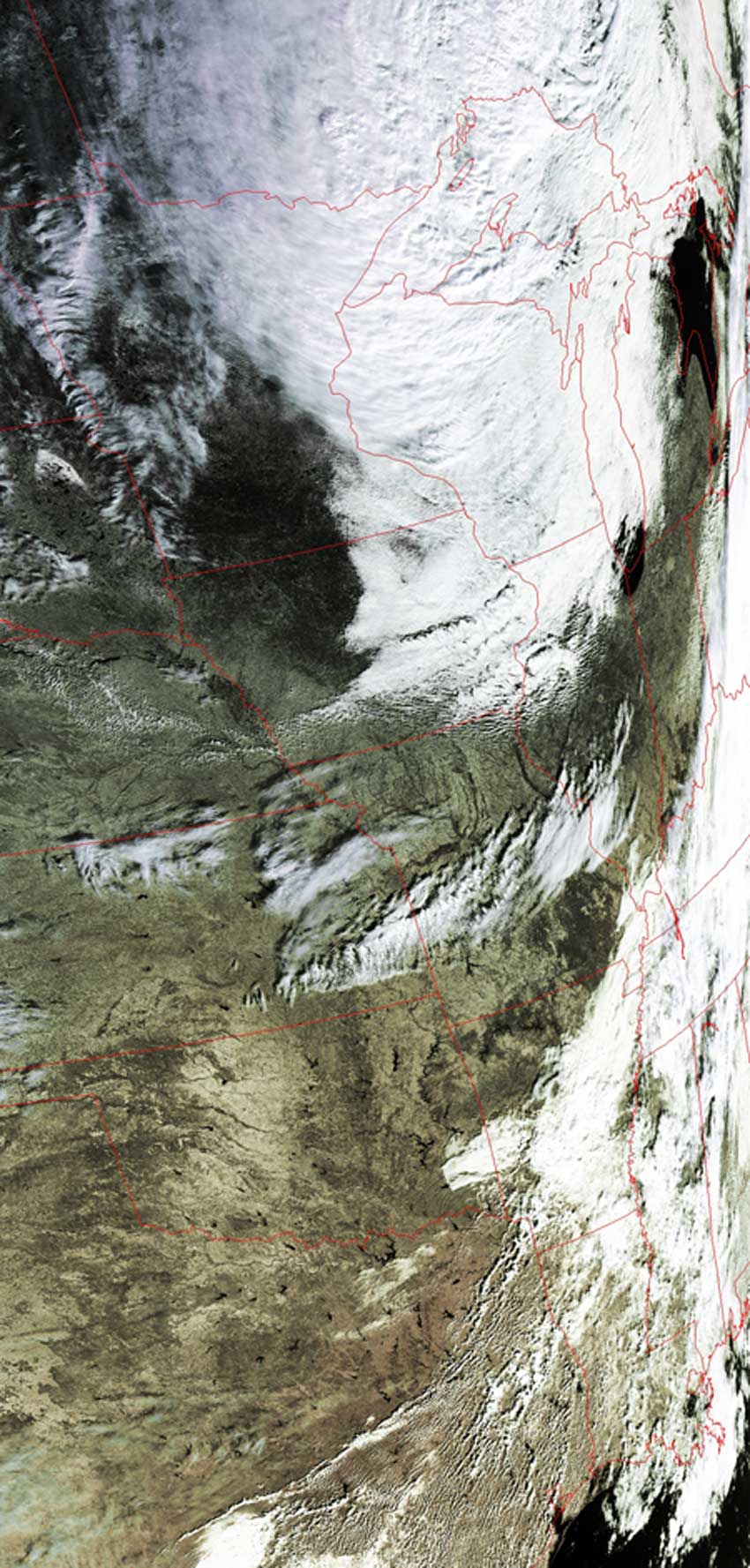
Satellites: NOAA-15 and NOAA-17, part of NOAA's 850km-high (530 mile-high) Polar Orbiting satellites
As a Low Pressure system sits over Michigan the air around it rotates counterclockwise. Warmer air in the Gulf of Mexico is pushed North while colder air from Canada is pushed South.
The cold air coming South from Canada is more dense than the warm air from the Gulf. When the cold air collides with the warm air, the colder air pushes the warm air upward.
This upward motion causes the warm air to cool and condense out some water vapor the air had. This is the process in which clouds form at a Cold Front and resulting precipitation occurs.
The picture below displays a counterclockwise motion around the Low Pressure System (around Michigan and Lake Huron) and shows a definite line where the cold air is pushing the warm air
up.