|
|
|
|
|
|
|
|
![]()
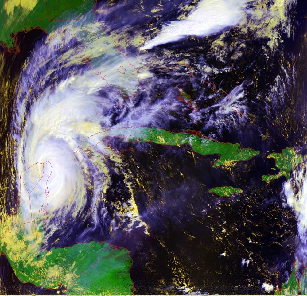
Satellites: NOAA-15 and NOAA-17, part of NOAA's 850km-high (530 mile-high) Polar Orbiting satellites
TEMPERATURE DISTRIBUTION
This picture shows the temperature difference between the land and the clouds above.
The scale in the top left portion of the satellite image will give you the colors assigned to the different temperatures.
There is a red circle where we are located which is there to help you correlate what you see in this image to what is
going on outside and around you. There is a pretty good cloud coverage over Radford and some very high and cold
clouds to the North and some extremely cold clouds way up in the air down south of Florida. Water is the largest
heat source on the planet which can easily be seen in this image. You can tell this by looking for the red and yellow coloring
that represents the warmer temperatures in this satellite image.
click for High-Res Images!
