|
|
|
|

![]()
Satellite
Image of the Day: October
3, 2005
(click
here for previous images of the day from RUSMART)
NOAA's Hydrometeorologial Prediction
Center (HPC) "Daily
National Forecast" image shows a daily national weather prediction
Satellites: NOAA-15 and NOAA-17, part of NOAA's 850km-high (530 mile-high) Polar Orbiting
satellites
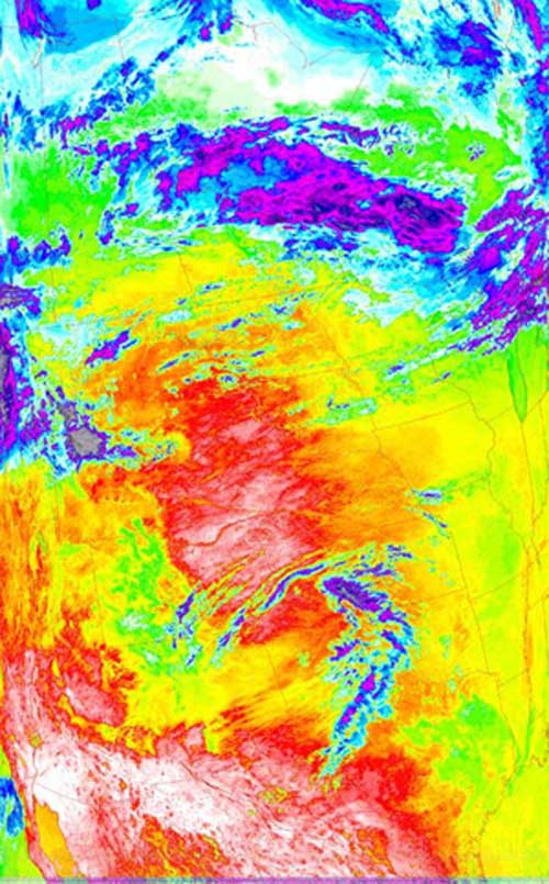
This picture of temperature distribution is excellent at showing just how
elevation effects temperature.
The lower clouds, as seen over
seen
above North and