|
|
|
|
|
|
|
|

Satellites: NOAA-15
and NOAA-17,
part of NOAA's 850km-high (530 mile-high) Polar
Orbiting satellites
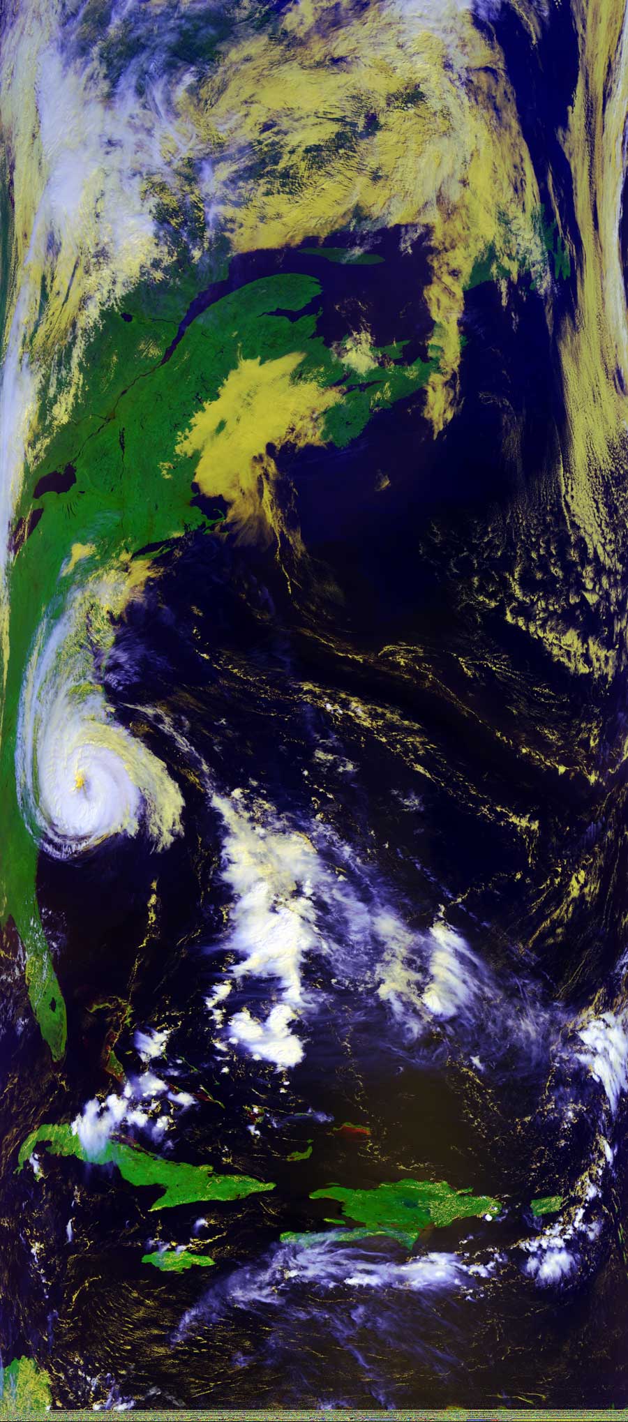
The Continuing Evolution of Ophelia
This picture shows the position of Ophelia as of this morning.
You can see from the coloring the position of the clouds in the storms.
The white clouds are the highest and the yellow clouds are the lower and warmer
clouds in the storm.
You can also see straight down the eye of the storm into the warmer air.
Click on the image(s) below for a higher-resolution (~100k) picture.