|
|
|
|
|
|
|
|

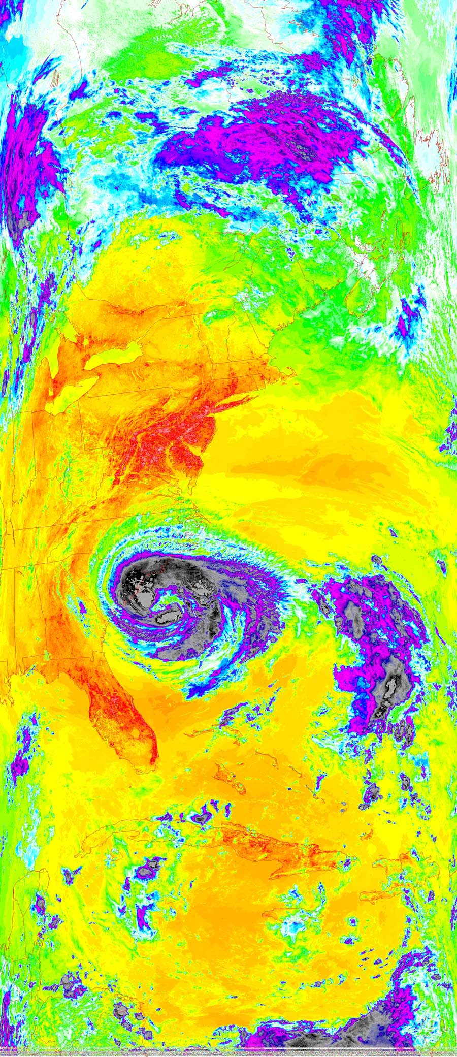
Satellites: NOAA-15
and NOAA-17,
part of NOAA's 850km-high (530 mile-high) Polar
Orbiting satellites
Tropical Storm
Ophelia - For The Moment
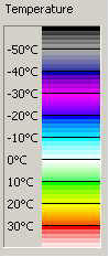
The extremely high black clouds are -50 Centigrade. At this
time Ophelia is a tropical storm because there is no well defined eye.
A hurricane's eye would show an unbroken wall of clouds in the center.
The green center is the Atlantic Ocean. Ophelia is localized - she is not
bringing moisture to the Western parts of the Mid-Atlantic states.
Click on the image(s) below for a higher-resolution (~100k) picture.