|
|

Satellites: NOAA-15
and NOAA-17,
part of NOAA's 850km-high (530 mile-high) Polar
Orbiting satellites
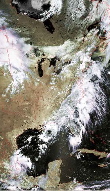
The "life cycle" of a tropical depression (Arlene)
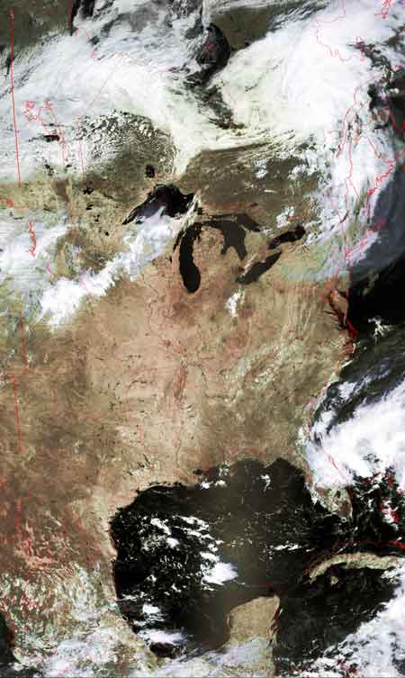
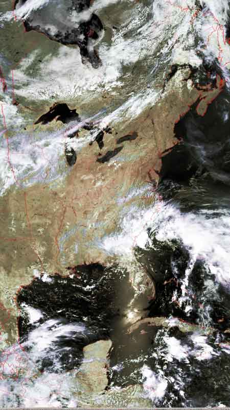
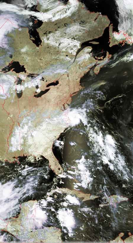
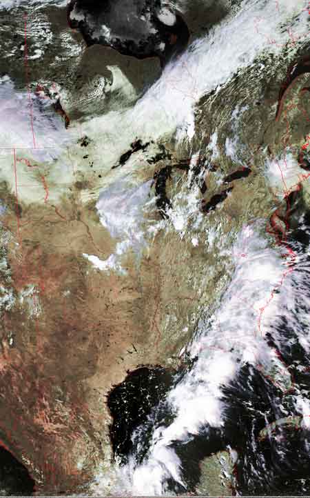
The 6 images below show the typical development of a
(Bermuda) tropical depression.
This depression did not strengthen into a either tropical storm or a
hurricane.
These typically form out in the Atlantic Ocean, head westward towards
land, and then turn north/northeast.
The initial landfall of this depression was the northeastern
Florida coast. There, the back edge caught the front edge (June 25 image),
consolidating things more for a bit (June 26-27).
However, these depressions start to lose their shape and power when they touch
land--they draw their power as heat from the warm ocean.
Note on June 28 how the system is centered over Massachusetts but is barely
discernable as a unit.
By June 29, the system has dissipated.
| June 24 | June 25 |
 |
 |
| June 26 | June 27 |
 |
 |
| June 28 | June 29 |
 |
 |