![]()
|
|
|
|

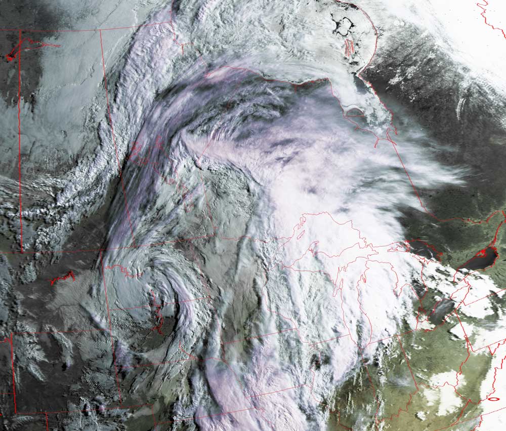
Satellites: NOAA-15
and NOAA-17,
part of NOAA's 850km-high (530 mile-high) Polar
Orbiting satellites
"The Day After"
The early-morning sun delineates the remnants of the
surprising snow storm that left up to a foot of snow at various places in North
Dakota.
This storm exhibits the classic counterclockwise rotation of such mid-latitude
storms.
Note the jet stream being pushed up (north) by the circulation of this system.
Click on the image below for a higher-resolution (>100k) version.