![]()
|
|
|
|

Satellites: NOAA-15
and NOAA-17,
part of NOAA's 850km-high (530 mile-high) Polar
Orbiting satellites
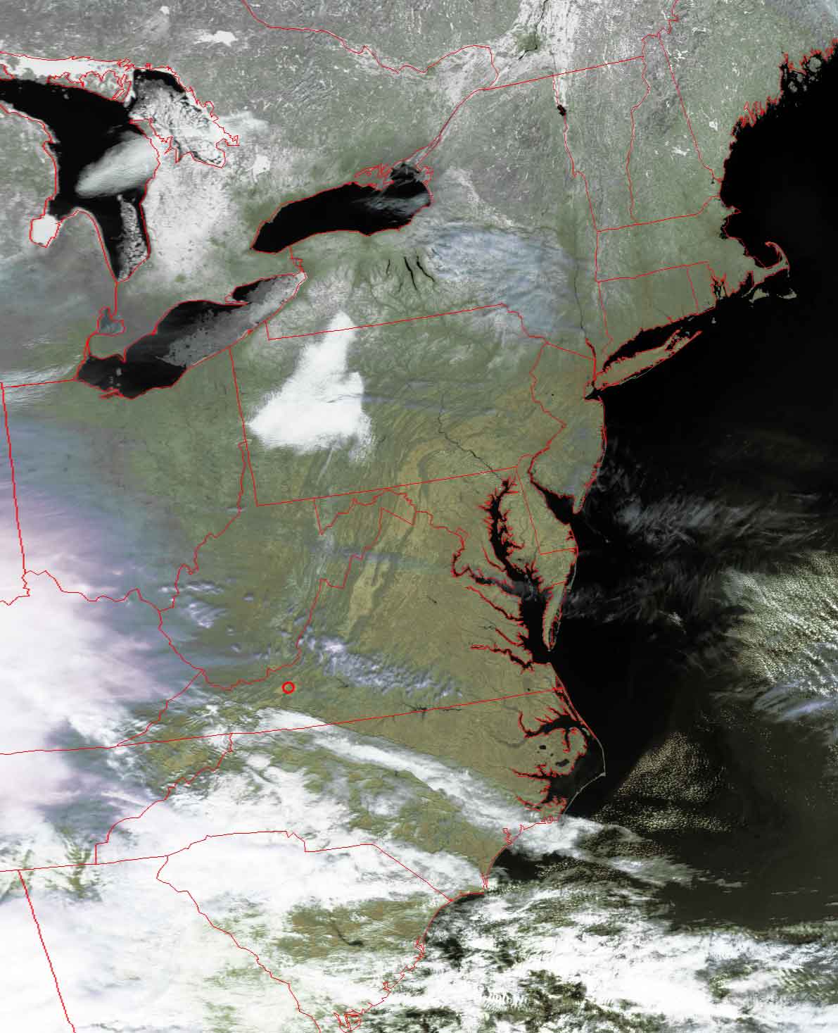
Northern Appalachian Mountains
The mid-morning sun, along with relatively-clear
skies, conspire to show the twists and turns of the Appalachians throughout
Virginia, West Virginia and Pennsylvania.
The red circle marks the location of Radford University. The New River Valley,
in which Radford is located, really stands out in this image (lighter area
surrounding red circle).
Click on the image below for a higher-resolution (>100k) version.