![]()
|
|
|
|

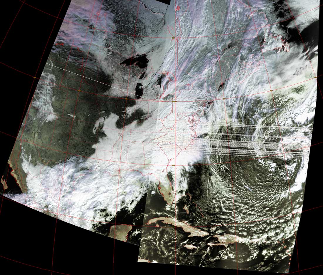
Satellites: NOAA-15
and NOAA-17,
part of NOAA's 850km-high (530 mile-high) Polar
Orbiting satellites
Snow and ice hit the eastern seaboard
This image shows the class scenario of warm, wet air
being brought up from the Gulf of Mexico and meeting cold air from the north.
This is the same basic scenario that caused last week's storm; same location,
same basic results (very cold air+moist air=snow/ice).
Note the large mid-latitude swirl off the Atlantic coast causing the clouds to
stall over the US eastern seaboard.
Click on the image below for a higher-resolution (>100k) version.