![]()
|
|
|
|

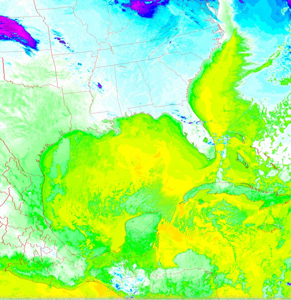
Satellites: NOAA-15
and NOAA-17,
part of NOAA's 850km-high (530 mile-high) Polar
Orbiting satellites
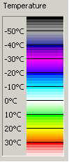
Temperatures of the water and the land
This thermal image shows the cold land surrounded by
the warmer oceans.
Here, currents in the Gulf of Mexico and the Atlantic Ocean are revealed by
their temperature differences.
The deeper waters are warmer since their greater volume lets them hold their
accumulated heat better than shallow waters.
You can also see how land near water is kept a bit warmer than further inland,
even at higher latitudes (e.g., the coast of North Carolina is warmer than the
northern parts of Florida).
Water is a great temperature regulator for our planet due to its heat capacity
(ability to store heat) being higher than that of land.
Click on the image below for a higher-resolution (>100k) version.