![]()
|
|
|
|

Satellites: NOAA-15
and NOAA-17,
part of NOAA's 850km-high (530 mile-high) Polar
Orbiting satellites
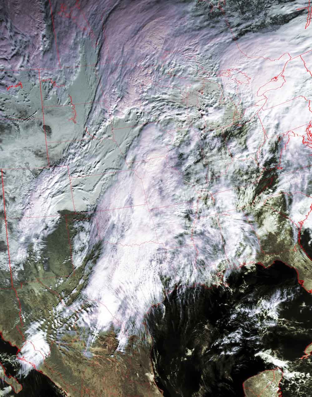
Snow cover in the Rockies; mountain waves over Mexico
Snow blankets the Rocky Mountains while the cold front
pushes to the east across the Great Plains.
In Mexico, with the winds blowing towards the east, mountain waves in the clouds
are clearly revealed.
These mountain waves are caused by the air oscillating up and down in elevation
after they leave the mountains. When the air rises, it cools and moisture
condenses out, creating bands of clouds. When the air falls back down, it can
hold more moisture and the clouds disappear.
Click on the image below for a higher-resolution (>100k) version.