![]()
|
|
|
|

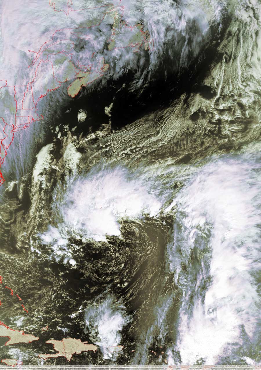
Satellites: NOAA-15
and NOAA-17,
part of NOAA's 850km-high (530 mile-high) Polar
Orbiting satellites
Is this our future?
This swirl out in the Atlantic east of Bermuda may or may not
develop into anything serious.
Such counterclockwise swirls are created by air being pushed northward from the
equator, and southward from the north pole, meeting and turning due to the
Coriolis
effect from Earth's rotation.
The north-moving air is diverted to the east, while the south-moving air is
diverted to the west, all of which is due to basic conservation of angular
momentum.
Click on the image below for a higher-resolution (~150k)
version.