![]()
|
|
|
|

Satellites: NOAA-15
and NOAA-17,
part of NOAA's 850km-high (530 mile-high) Polar
Orbiting satellites
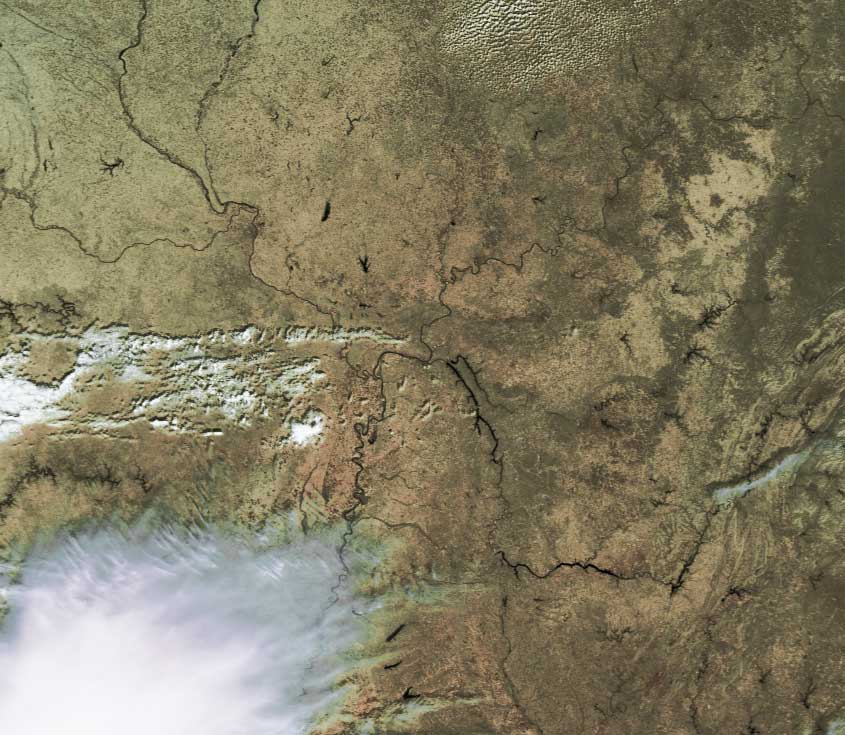
Geography quiz: What two major rivers are merging into one in
this image?
Could you identify the states seen in this image? Hint: These rivers
form many states' boundaries.
Can you identify other major rivers and what states' boundaries they
form?
If you're having trouble identifying the rivers and the
states (without those convenient little lines that are one maps!), click
here
for some help.
Click on the image below for a higher-resolution (~100k)
version.