![]()
|
|
|
|

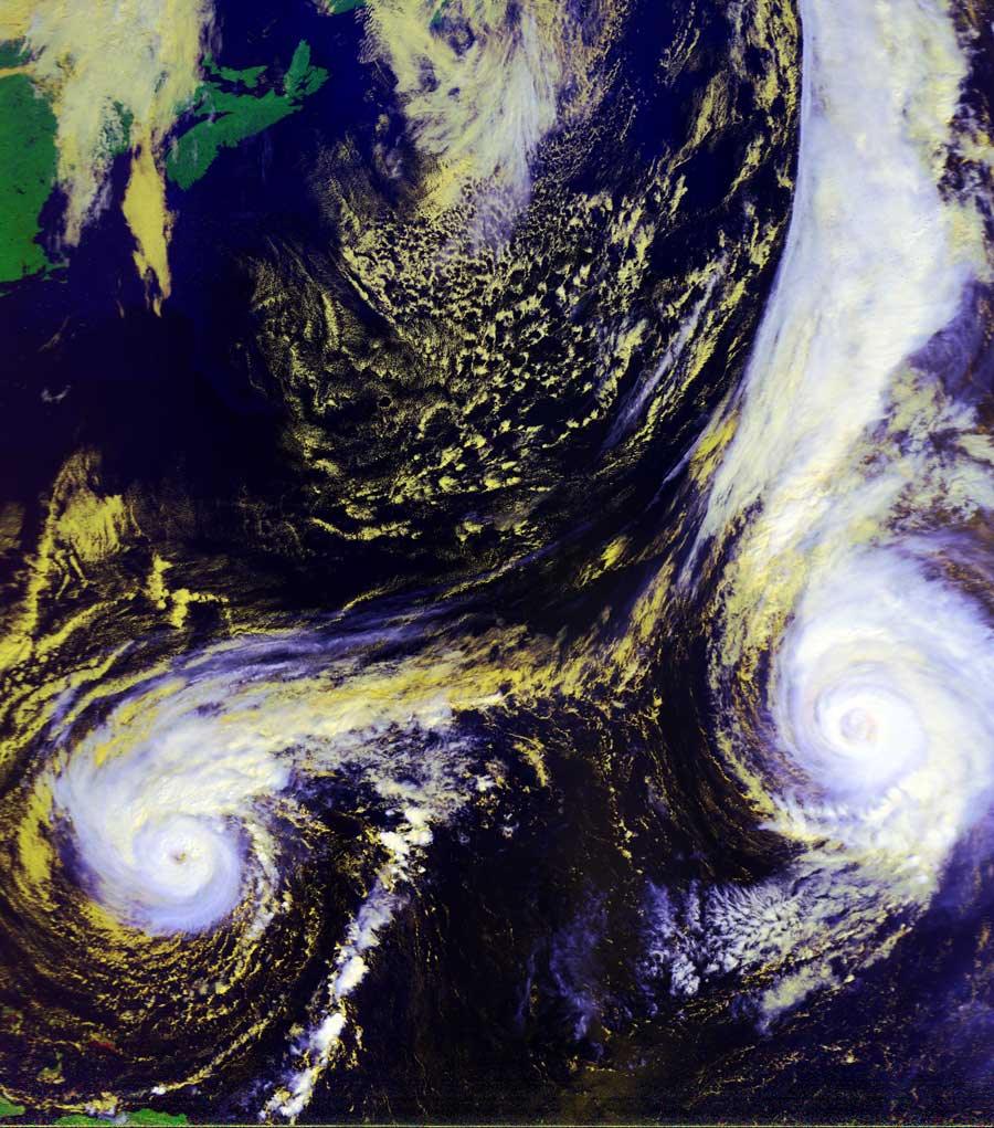
Satellites: NOAA-15
and NOAA-17,
part of NOAA's 850km-high (530 mile-high) Polar
Orbiting satellites
Hurricanes
Jeanne and Karl
NOTE: This image was produced as a "false color RGB" image to bring
out the structure of the cloud formations.
In these images, the highest and
coldest clouds are the whitest, while lower and warmer clouds are yellow.
The
land is unnaturally green--this is an artifact showing the relative warmth of
land.
In this image, you can see the Nova Scotia peninsula at the upper left corner,
and part of Puerto Rico and Haiti at the lower left corner.
Image by NOAA-17, flyover beginning 10:33am EDT.
Click on the image below for a higher-resolution (>50k) version.