![]()
|
|
|
|

Satellites: NOAA-15
and NOAA-17,
part of NOAA's 850km-high (530 mile-high) Polar
Orbiting satellites
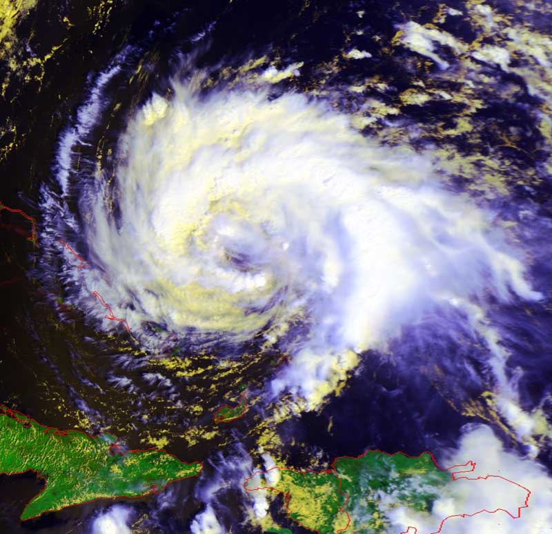
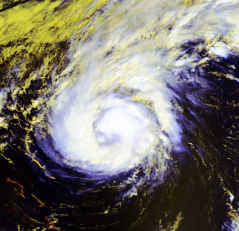
Tropical Storm Jeanne makes a
dramatic turn
The small red circle marks the location of
Radford University; specifically, the
location of Curie Hall and the RUSMART HRPT antenna.
Jeanne has re-asserted herself after seeming to break up over the virgin
Islands.
However, she has made the sharp northeast turn characteristic of tropical storms
and hurricanes, and should not pose any threat to the US mainland.
NOTE: Both of these images were produced as "false color RGB" images to bring
out the structure of the cloud formations. In these images, the highest and
coldest clouds are the whitest, while lower and warmer clouds are yellow. The
land is unnaturally green--this is an artifact showing the relative warmth of
land.
Click on the image below for higher-resolution (~80k) closeups of the main part
of Jeanne.
|
Image acquired yesterday (Sunday), September 19 |
Image acquired today (Monday), September 20 |
|
|
|