![]()
|
|
|
|

Satellites: NOAA-15
and NOAA-17,
part of NOAA's 850km-high (530 mile-high) Polar
Orbiting satellites
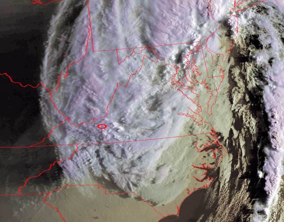
The Remnants of Tropical
Storms Ivan and Jeanne
The small red circle marks the location of
Radford University; specifically, the
location of Curie Hall and the RUSMART HRPT antenna.
Ivan is dragging over land, dumping his accumulated moisture
and finally depleting his power.
Jeanne lost her power after hitting Guadeloupe and the Virgin Islands, and will
not threaten the US mainland.
Click on the image below for a closeup of early-morning Virginia, clearly
showing features such as mountain waves (where air rises and falls over
mountains and valleys) over the Appalachians in NC and VA.