
![]()
|
|
|
|

Satellite: NOAA-17,
one of NOAA's 850km-high (530 mile-high) Polar
Orbiting satellites.
Hurricane
Ivan and Tropical Storm Jeanne
A Tale of Two Storms
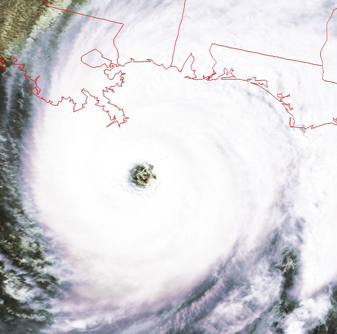
In the higher-resolution image of the eye just below, you can even see the structure of the powerful eyewall, where the strongest of the winds
occur.
The image directly below was taken by NOAA-16 on a flyover starting at 3:35pm
EDT.
You can see right down the throat of the hurricane, into the literal calm in the
eye of the storm.
(Ignore the "wiggles" on the left side of this image--NOAA-16 has some flight
control problems at the moment.)
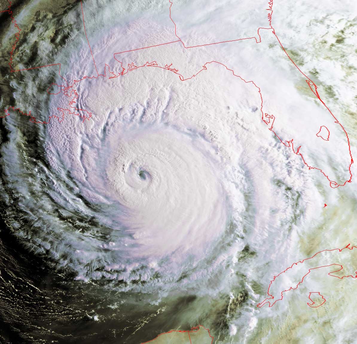
And yes, Ivan is very bad news for New Orleans.
You can see Ivan's cumulative path from the previous few
"Images of the Day".
Click on the images below to see a higher-resolution (>100k) version.
click here
|
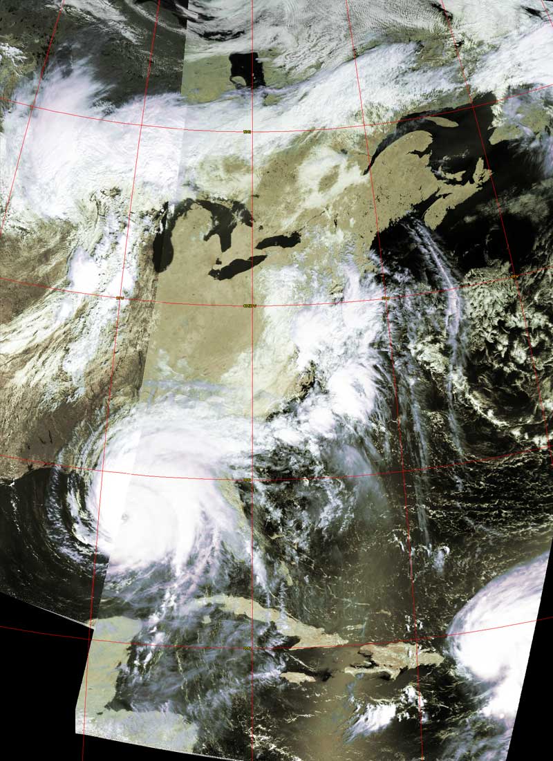
Flyover beginning 8:31am EDT |
Composite image of two flyovers, beginning
11:30am and 1:11pm EDT |
 |
 |