![]()
|
|
|
|

Satellite: NOAA-15,
one of NOAA's 850km-high (530 mile-high) Polar
Orbiting satellites.
Flyover beginning 7:51am EDT
Two images of now-Tropical
Storm Frances (downgraded from a hurricane)
Frances crossing over Florida.
For more information on factors that influence the paths that hurricanes take,
see Kevin Myatt's Weather Journal
on the Roanoke Times website.
You can see the evolution of the path of Frances by checking out the
previous Satellite Image of the Day pages on this
site.
Click on the images below for a higher-resolution (>100k) version.
In each of these images, you'll find the small yellow circle marking
the location of Radford University.
|
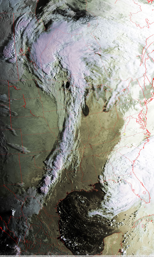
Note the sharp demarcation of a cold front extending from the
Great lakes down to Texas. Fronts such as this can effect the paths that
hurricanes take. |
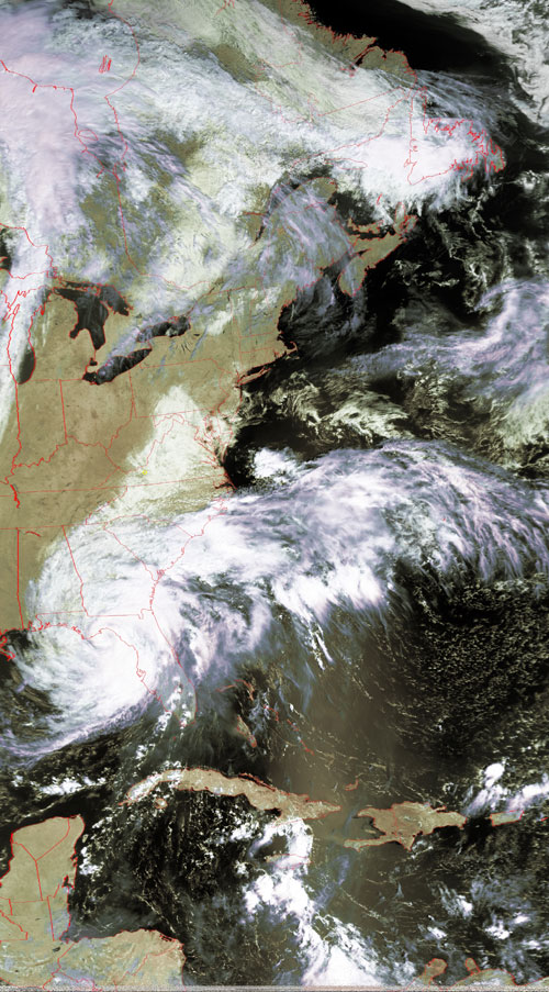
The slow motion of Frances' path over the Florida panhandle is
seen in this second image, taken less than three hours after the one at the
left. |
|
|
|