
![]()
|
|
|
|

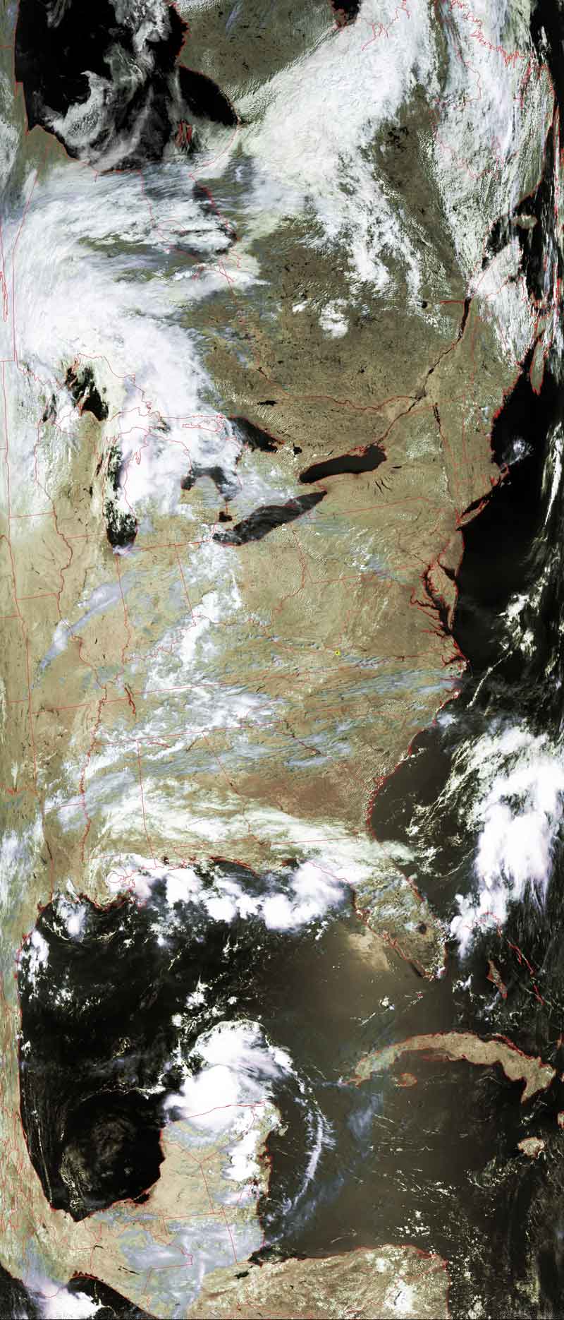
Satellite: NOAA-17,
one of NOAA's 850km-high (530 mile-high) Polar
Orbiting satellites.
August 9, 2004; flyover beginning 12:12pm EDT
Another hurricane???
According to the
Climate Prediction Center of the
National Weather Service,
"NOAA’s
2004 Atlantic
hurricane season outlook indicates a 50% probability of an above-normal
hurricane season, a 40% probability of a near-normal season, and a 10% chance of
a below-normal season, according to a consensus of scientists at the National
Oceanic and Atmospheric Administration's (NOAA)
Climate Prediction Center (CPC), the
Hurricane Research Division (HRD),
and the National Hurricane Center (NHC).
... The outlook calls for 12-15 tropical storms, with 6-8 becoming hurricanes,
and 2-4 of these becoming major hurricanes."
|
There is a circular rotation of clouds just off of the Yucatan
Peninsula in Central America. |
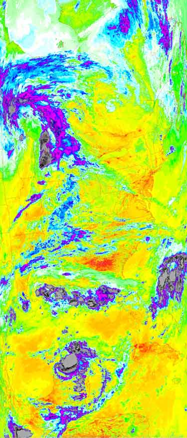
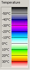
Thermal image of the same area as at left. |
 |
  |