|
|

Satellite: NOAA-15
August 4, 2004; flyover beginning 10:47am EDT
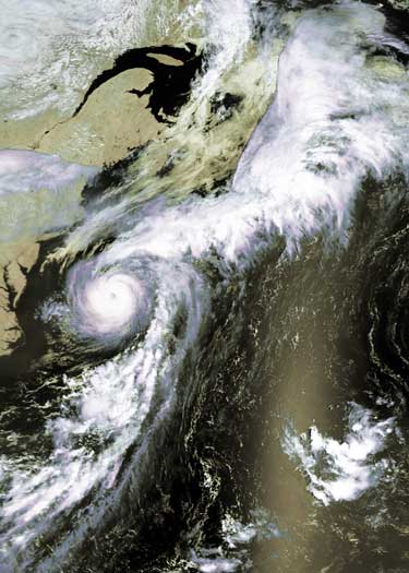
These images show
Hurricane Alex this morning taken from the vantage point of NOAA's
850km-high (530 mile-high) Polar
Orbiting satellites (NOAA-15here)

|
Hurricane Alex has turned northeastward, heading out to sea. |
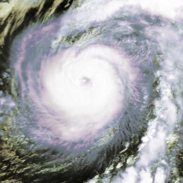
Straight down the eye of Hurricane Alex. The central calm region
in the eye would be a nice, tropical day at sea...if not for the dangerous winds
surrounding the location of the eye! |
 |
 |