
![]()
|
|
|
|

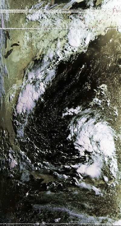
Satellite: NOAA-16
July 29, 2004; flyover beginning 7:28am EDT
This picture was taken in the morning, as NOAA-16 flew over a relatively
harmless oceanic storm.
This may look forbidding at first sight--we seem to see clouds developing around
a central clear space that one might associate with the eye of a hurricane.
However, we can tell this is harmless by looking a bit closer at the cloud
formation.
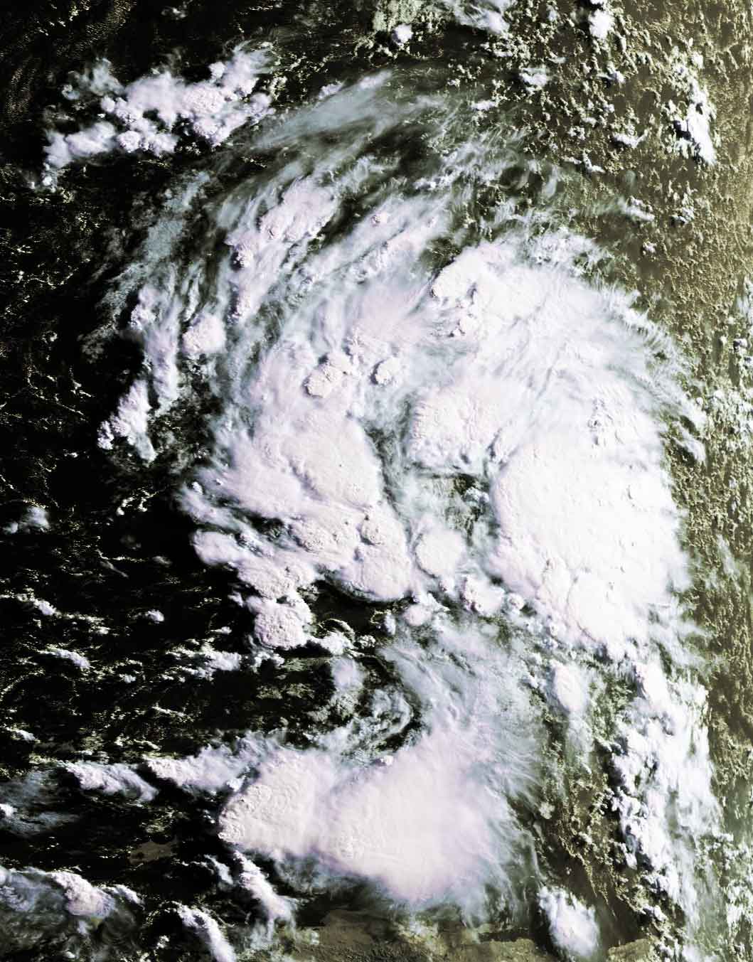
In this
(140k) image, a closer inspection shows that the tops of the clouds are not
consolidated; i.e., while this bunch of clouds is certainly formidable, they are
not one large circulating cloud mass, and thus do not have great potential for
developing into a hurricane.
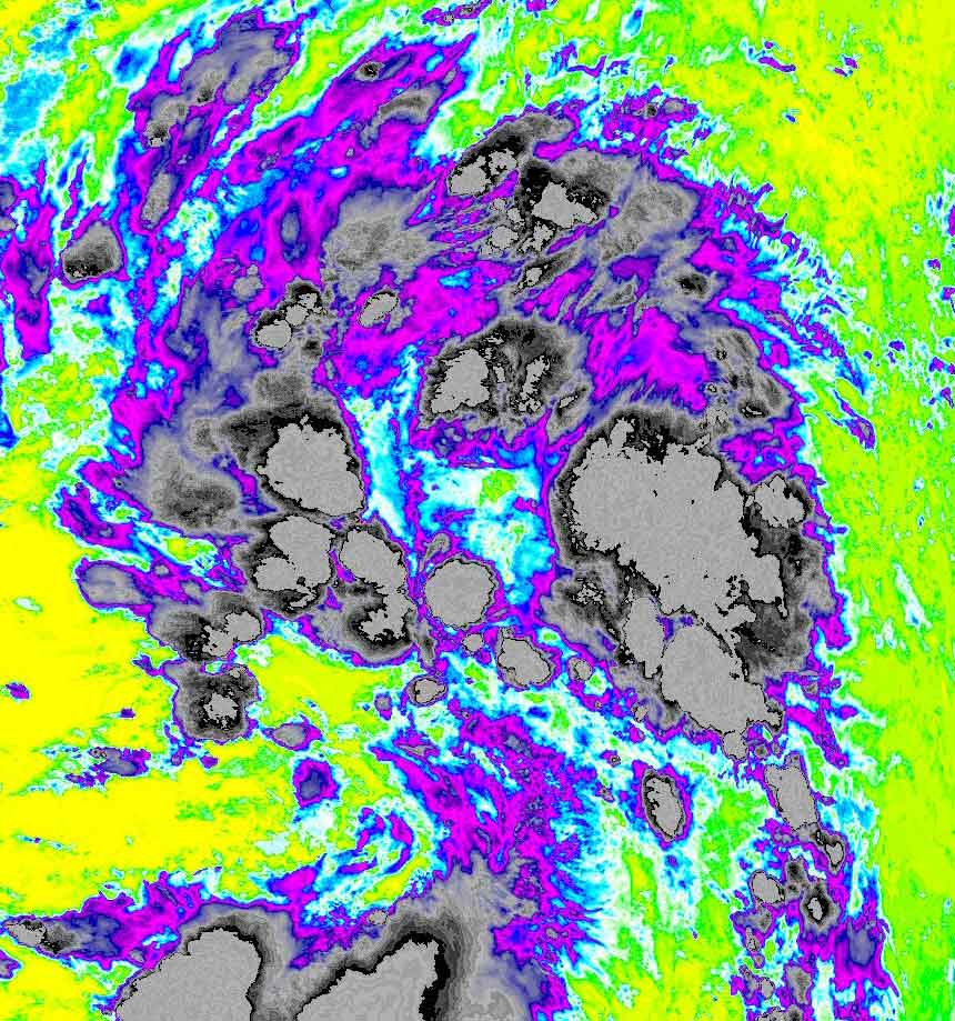
You can see the unconsolidated cloud formation more clearly in
this image of the
temperature distribution (135k) of the cloud formation. The green color
in the middle shows the sea surface temperature of approximately 15 centigrade,
while the dark gray color shows the tops of the clouds are a very chilly minus
50 centigrade! However, the cloud tops do not form a smooth curved "wall" like
those normally associated with hurricane development. Click
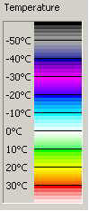
here for a temperature/color scale.
Hurricane season is almost upon us, so such consolidated cloud walls will soon
be seen in the Atlantic.