![]()
|
|
|
|

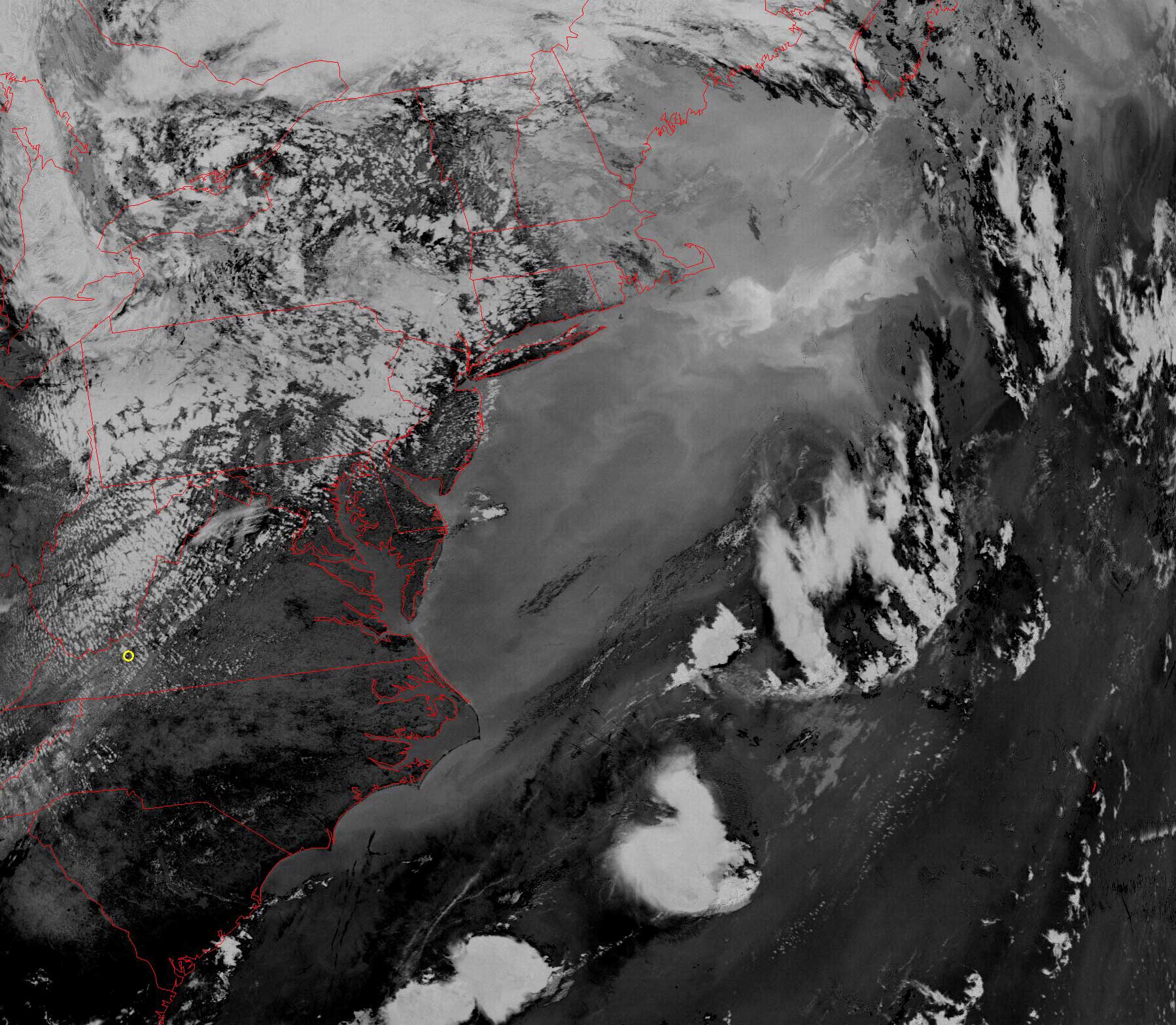
Satellite: NOAA-17
July 15, 2004; flyover beginning 3:41pm EDT
This picture was taken in the afternoon, but is not from the visible
wavelengths.
This image uses infrared light to show the distribution of water vapor,
revealing the Atlantic Ocean's
Gulf
Stream.
The Gulf Stream flows up the eastern US coast from Florida to the
Carolinas, where it is deflected out into the deeper Atlantic.
North of the North Carolina coast, the aftermath of this deflection leaves the
ocean swirling in beautiful and complex patterns governed by the surface and
deeper currents of various size, by the rotation of Earth, by surface winds, and
by many other factors. The net result is a complicated flow that ships must
account for in their travels. In addition, those making their living from
fishing also must know about these currents since they often dictate where the
major schools of fish travel.
Click on the image below for a high resolution (>350k) image.