![]()
|
|
|
|
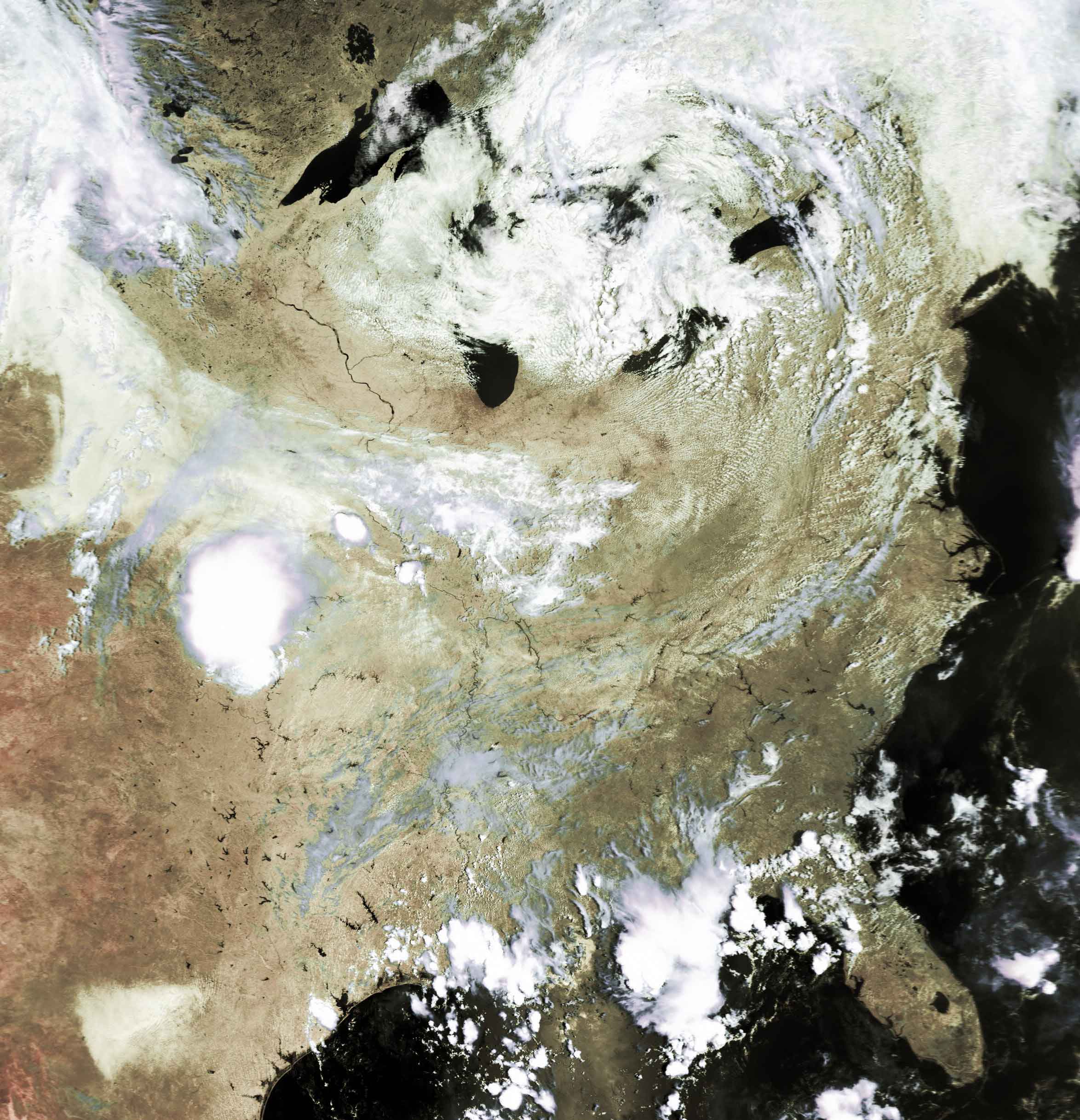
Satellite: NOAA-17
July 7, 2004; one flyover, beginning 12:40pm EDT
The mighty Mississippi River, along with the Ohio River, are
particularly revealed on this clear summer day.
You can follow the Mississippi nearly from its headwaters in Minnesota until it
ends in the Gulf of Mexico.
Note its how the river's meanderings increase once the Ohio River joins the
Mississippi.
Scattered puffy cumulus clouds over the Ohio Valley show the winds pulling
moisture up off of the land; the counterclockwise circulation over the Great
Lakes then goes on to pull moisture from the Atlantic Ocean which loops back
over eastern Canada.
The footprint of Chicago at the southern end of Lake Michigan really stands out.
Click on the image below for a high resolution (400k) image.