|
|
Satellite: NOAA-17
July 5, 2004; one flyover, beginning 2:09pm EDT
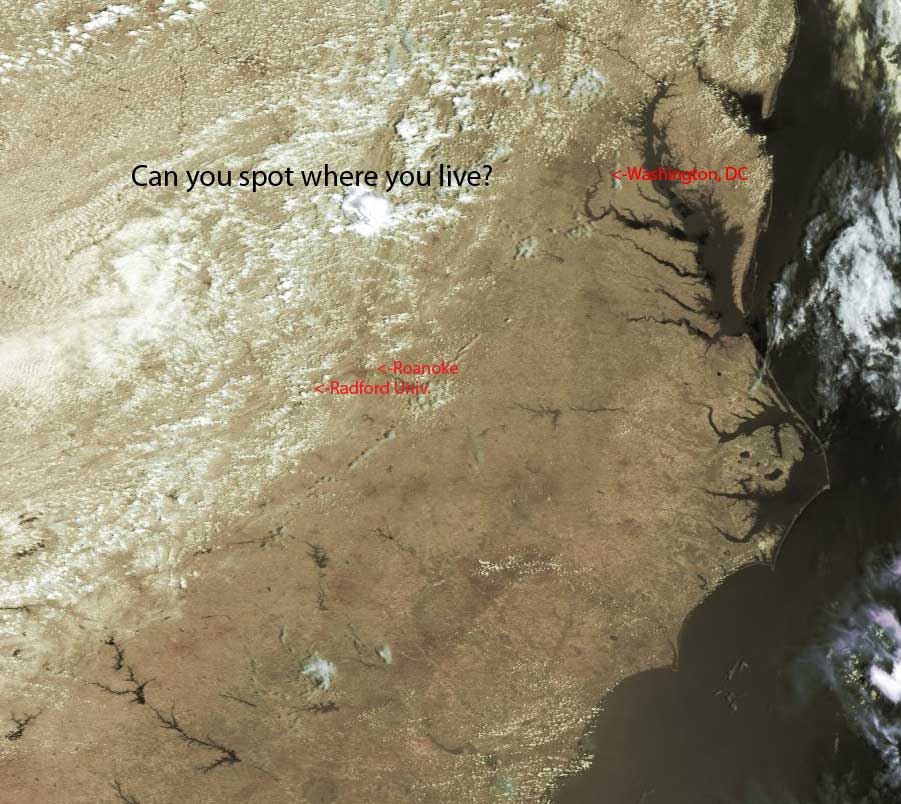
The first image below is a false color image approximating what your eyes would
see from space.
On this clear, hot day you can pick out the cities in Virginia and the
Carolinas, even spotting the square shape of the DC area.
Or...can you spot all of them?
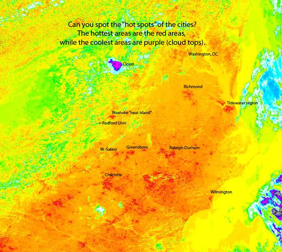
Sometimes, it's easier to see cities by the tremendous heat they emit, creating
"heat islands" that are warmer than the surrounding countryside.
See the thermal image below for some of these "heat islands."

Below is a thermal image of the same area as the false color image above.
