Valley and Ridge General Physiography: Extent and Boundaries (Part 1)
The general physiography of Virginia’s Valley and Ridge includes discussions of: Extent and Boundaries and Characteristic Features
Extent and Boundaries
• The Valley and Ridge lies between the Blue Ridge in the east and the Plateaus to the west. The only part of Virginia that occurs in the Plateaus province is in the far southwestern corner of the state.
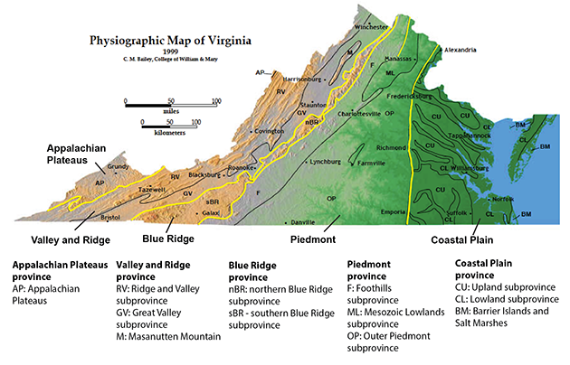
Location map of the physiographic provinces of Virginia. The Valley and Ridge lies between the Blue Ridge and the Appalachian Plateaus. (Image from the College of William and Mary geology website, courtesy of C.M. Bailey)
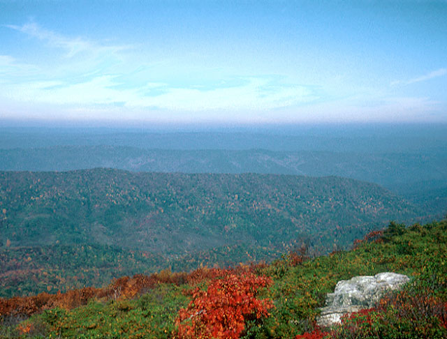
• The Valley and Ridge consists of two distinctly different parts -- an eastern Great Valley adjacent to the Blue Ridge and a more mountainous western part called the Ridge and Valley subprovince.
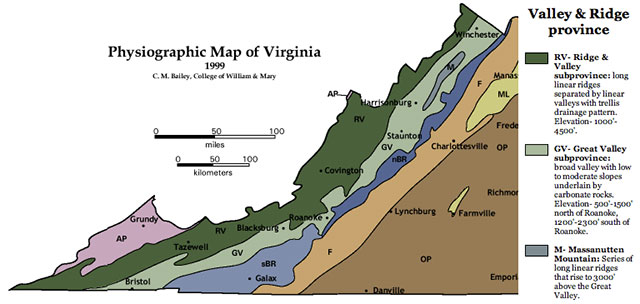
Map showing the locations of the subprovinces of the Valley and Ridge. (Image from College of William and Mary geology website, courtesy of C.M. Bailey)
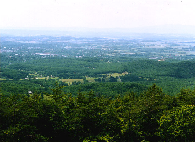
Two photographs contrasting parts of the Valley and Ridge in Virginia. Above photograph shows typical low-relief Great Valley scene looking west from the Skyline Drive. (Photograph by Stan Johnson)
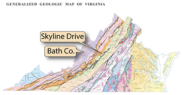
Above photograph shows the more mountainous part of the Valley and Ridge province. The view is looking west from Warm Springs Mountain in Bath County. (Photograph by Robert Whisonant)