
Piedmont Physiography: Extent and Boundaries
• The Piedmont lies between the Blue Ridge on the west and the Coastal Plain to the east. It is the largest province in Virginia.

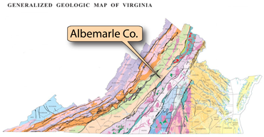
Location map of the Piedmont (green) in Virginia. Note that the Piedmont is the largest province and covers about a third of the state.
(Photograph by Stan Johnson)
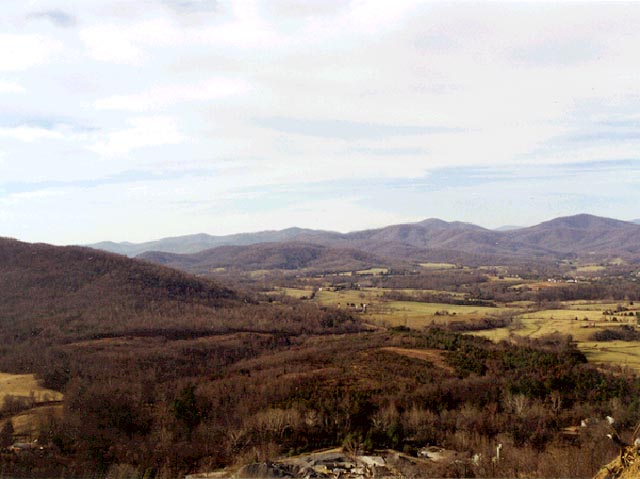
 Photograph of the western Piedmont in Albemarle County (above). Piedmont literally means foothills. The word was originally used in Italy, and was first applied in the United States to the area northeast of Roanoke. Eventually it came to mean the entire province.
• The Piedmont slopes gently eastward from the Blue Ridge to the Fall Line. Elevations range from peaks about 2,500 feet high in the western foothills to low surfaces around 250 feet along the Fall Line.
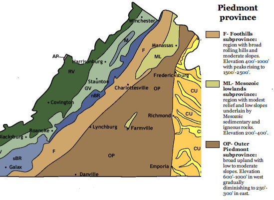
(Image from College of William & Mary geology website; courtesy of C.M. Bailey)
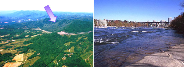
Left: Photograph by Parvinder Sethi. Right: Photograph by robert Whisonant.
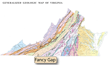 Above left: The Piedmont is bordered to the west by the Blue Ridge escarpment (arrow). This image shows Interstate 77 on Fancy Gap Mountain.
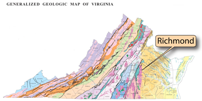 Above right: The Piedmont is bordered on the east by the Coastal Plain province at the Fall Line. This image shows the Fall Line at Richmond, on the James River.
• Within the Piedmont is the Mesozoic Basins sub-province. This sub-province is made up of topographic lowlands formed over faulted geologic basins.