
Blue Ridge Physiography: Characteristic Features (Part 2)
• The Blue Ridge is sharply divided into two sub-provinces north and south of Roanoke.• The Northern Blue Ridge is generally lower and narrower than in southwestern Virginia. In some places, as at Afton Mountain, the Blue Ridge is only a few miles wide.
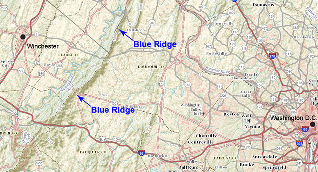
Map shows the long, narrow mountain chain typical of the Northern Blue Ridge (arrows). Here the mountain chain ranges from a single ridge less than two miles wide to closely-spaced ridges 10 to 14 miles wide. (Image from The National Map, U.S. Geological Survey)
• The Southern Blue Ridge is higher and broader. This area is described as a stream-dissected upland with higher peaks rising from the upland surface.
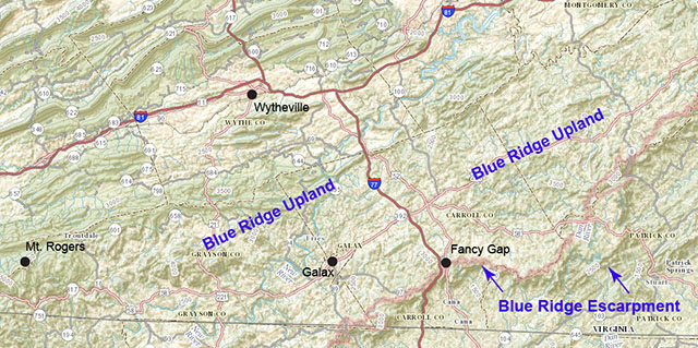
Map shows the broad, elevated, "upland" surface typical of the southern Blue Ridge. This mountainous area is 50 miles wide along the Virginia-North Carolina border. The Blue Ridge Escarpment marks the eastern edge of the physiograpic Blue Ridge. (Image from The National Map, U.S. Geological Survey)
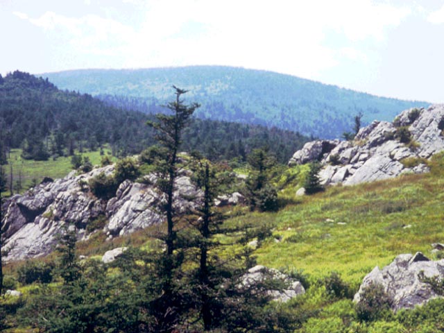
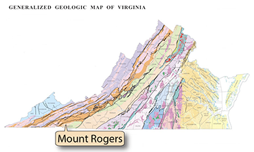 Above: Mount Rogers (in the background) is the highest peak in Virginia at 5,729 feet. (Photograph by Robert Whisonant)