
Blue Ridge Physiography: Special Features (Part 1)
Aerial Tour of the Southern Blue Ridge (Part 3)
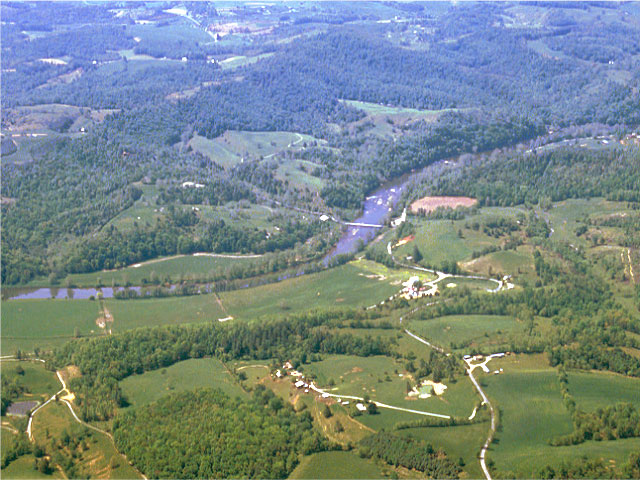
The New River winds lazily along the Blue Ridge upland surface near Fries, Virginia, Grayson and Carroll County. The New River follows the Fries Fault, a major Blue Ridge thrust fault, for part of its path across this area. (Photograph by Robert Whisonant)
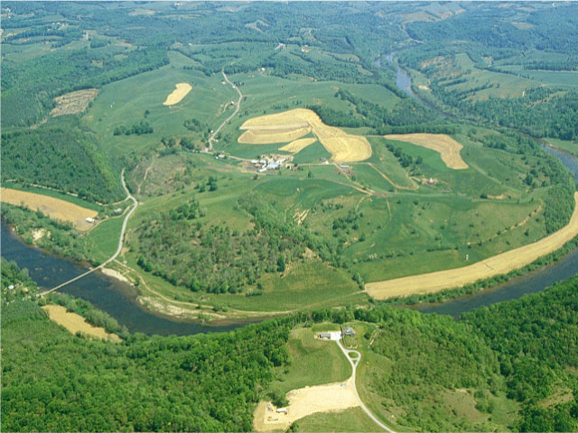
Meander loop in the New River near Fries, Virginia. This ancient stream flows north and west across the broad, upland surface of the Blue Ridge in southwestern Virginia. (Photograph by Parvinder Sethi)
<Back to Aerial Tour Location Map>
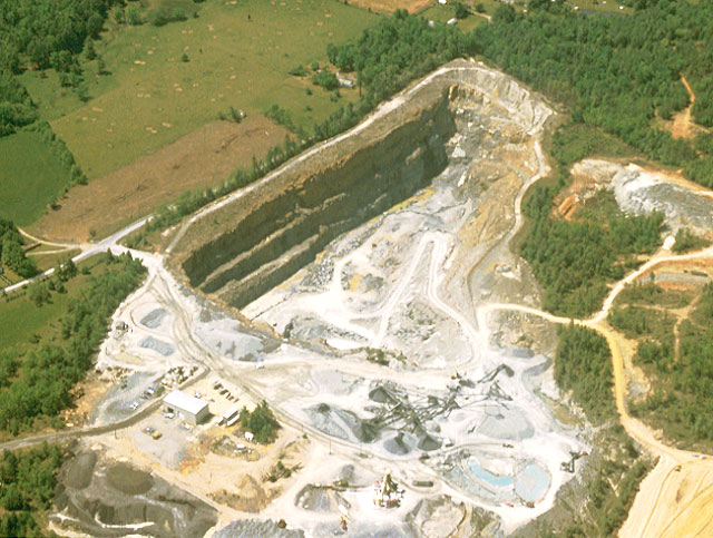
Quarry in rocks south of Galax, Virginia, in Grayson County, near the North Carolina border. These rocks belong to the Ashe Formation, a late Precambrian unit made of slates, phyllites, schists, and metamorphosed sandstones. The rocks quarried here are part of an ultramafic body that includes the minerals talc and olivine. (Photograph by Robert Whisonant)
<Back to Aerial Tour Location Map>