Class Information
The Geological Field School is a six-credit graduate class conducted by Radford University's Geological Department. It is funded by the State Council of Higher Education For Virginia and the Dwight D. Eisenhower Science and Education Act. Teachers spend five educational weeks in Radford University's dorms studying the unique geological history and structure of Virginia.
 Recently, Virginia has included some history and structure of the state in the Standards of Learning (SOLs) test given out each year. The "Field School" has been influential in the Earth Science SOL content. This successful program has been operating since 1987, and participants from past years have had input into the design of the SOL's. Some of the new Virginia-specific content has been a result of suggestions from these participants.
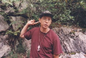
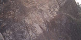
The Geological Field School is composed of two parts; lab work and field work. Lab work includes lectures on different aspects of geology, such as topographic and geologic mapping, rock identification, structure, and the formation and history of Virginia provinces. Field work includes many trips to locations within Virginia. Places like the New River Valley, Glen Lyn, in the Appalachian Plateau; Burkes Garden and Cedar Bluff, in the Valley Ridge Province; various quarries in the Piedmont Province; Mt. Rogers, Floyd County in the Blue Ridge Province; and Seashore State Park, in the Coastal Plain.
Most local field trips in the Valley, Ridge, and Appalachian Plateau are done during a single day trip. Other trips in the Blue Ridge, Piedmont, and Coastal Plain are done during The Grand Virginia Tour. 
The Grand Virginia Tour is a five day camping extravaganza where members travel throughout Virginia and piece together the history of the formations.
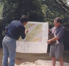
Another project of the field trip is mapping. Members are taught the basic principles of field mapping and given an area to map. Maps are geologic maps which show the boundaries between different rock formations as seen by the members.
This is a wonderful class for the Earth Science teacher. It is full of valuable information to help with the classroom and teaching the students. I would recommend this class to any teacher who wants to know more about the geology of Virginia.
Other things that teachers might want to know:
- it is for 6 graduate-level credits,
- it runs from late June to late July
- teachers stay on the beautiful RU campus which is centrally located for our field trips
- we tale full advantage of the fantastic rock exposures in the southwest Virginia area
- the purpose of the course is to give teachers practical hands-on experience with the science of geology and uses Virginia as a great big outdoor laboratory
- it stresses the big picture of geologic history and plate tectonics as seen in Virginia and gets into the modern controversies about the geology
- the Eisenhower grant pays a stipend and room and board expenses
- it is open for all teachers but only the ones from Virginia qualify for the full financial package
- this course has been rated very highly by past participants.

Link to the original advertising flyer for the 1998 Field School
For more information about the class, contact:
Dr. Jon Tso
Radford University
phone : 540-831-5638
e-mail : jtso@runet.edu

 Recently, Virginia has included some history and structure of the state in the Standards of Learning (SOLs) test given out each year. The "Field School" has been influential in the Earth Science SOL content. This successful program has been operating since 1987, and participants from past years have had input into the design of the SOL's. Some of the new Virginia-specific content has been a result of suggestions from these participants.
