
Appalachian Plateaus Physiography: Scenic Tour, Part 1
• Some of the most beautiful landforms in Virginia are formed on the rocks of the Appalachian Plateaus. Two special scenic areas are chosen for their natural beauty and their interesting geology.
• Click on the locality names on the map below for more information.
Location Map of Scenic Tour
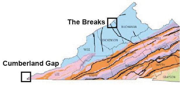
The Breaks
• The Breaks are located along the Virginia-Kentucky state line in the Plateaus province in Dickenson County. This scenic and geologic wonder is preserved in the Breaks Interstate Park.
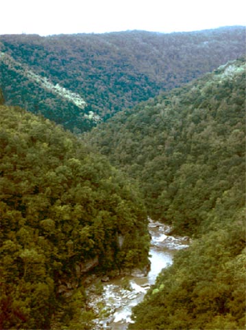
Sometimes called the Grand Canyon of the East, the Russell Fork River gorge in the Breaks Interstate Park is 1000 feet deep and five miles long. A highway and railroad follow the river in places. (Phototgraph by Robert Whisonant)
• The Breaks consist of a narrow, deep, winding valley of the Russell Fork River. Steep cliffs rise to about 1000 feet above the river.
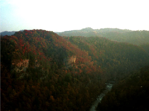
Photograph of the canyon cut by the Russell Fork River at the Breaks. The rocks exposed along the sides of the canyon are Pennsylvanian sandstones and shales. (Photograph by Phyllis Newbill)
• Breaks Interstate Park is underlain by a broad anticline of Pennsylvanian sandstones, conglomerates, and coal. The river appears to follow zones of erosional weakness caused by fractures in the rocks.
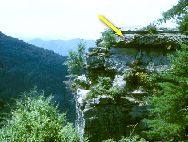
Much of the sandstone at the Breaks has cross-bedding (arrow). These cross beds were made by river currents. They formed when rivers in the late Paleozoic flowed from the Appalachian Mountains. (Photograph by Robert Whisonant)