Overview
As a geospatial science student at Radford, you’ll use geography and information technology to understand the people, places, and processes of the earth. In Virginia’s only undergraduate geospatial science program, you’ll foster a more complete understanding of our world and empower smarter, data-driven decisions with a focus on environmental studies.
Why Study Geospatial Science at Radford?
- We offer the only undergraduate geospatial science degree program in Virginia
- Our program offers 2 concentrations to choose from
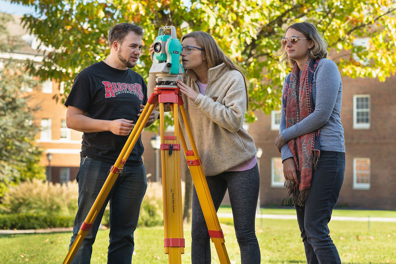
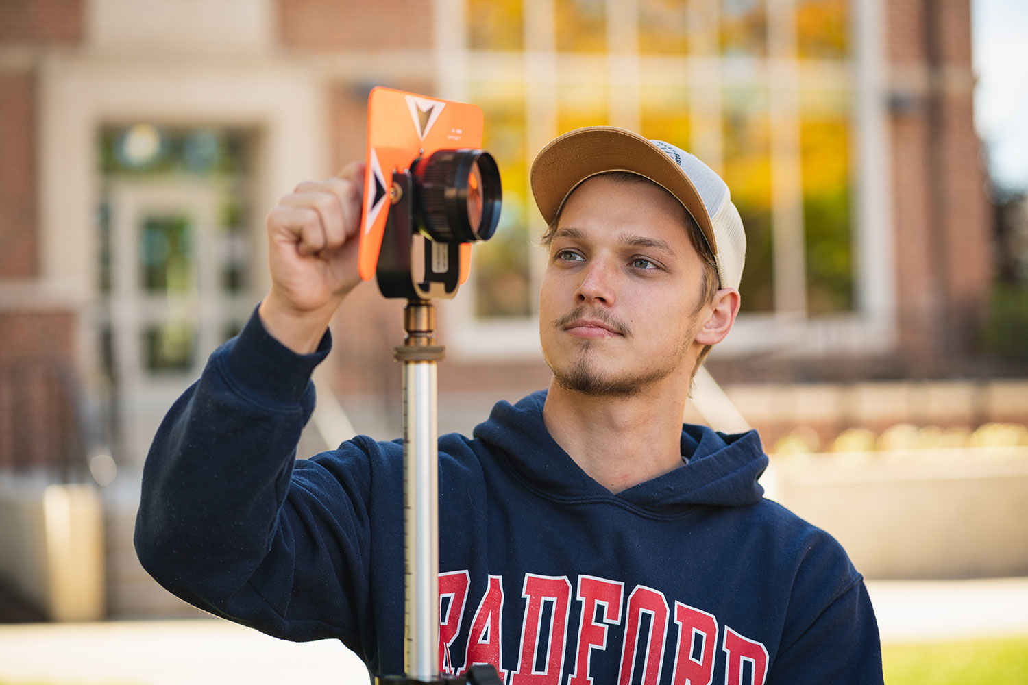
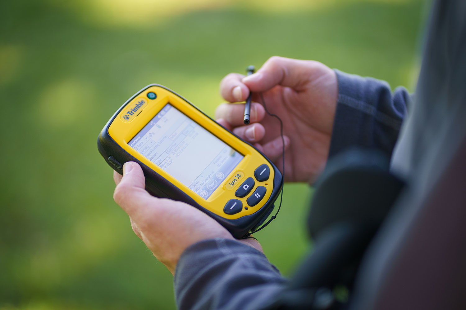
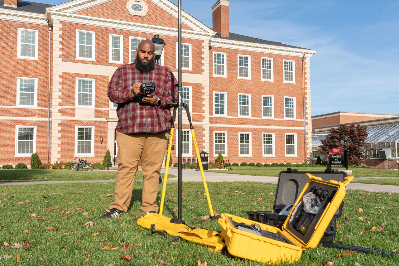
- Undergraduates get access to state-of-the-art equipment (LiDAR, Unmanned Aerial Vehicles (UAVs), GPS, and other geospatial equipment
- Some of our graduates work at NASA, NGA, Google, the EPA, and Northrup Grumman
- All students are eligible for professional certifications
Careers and Internships
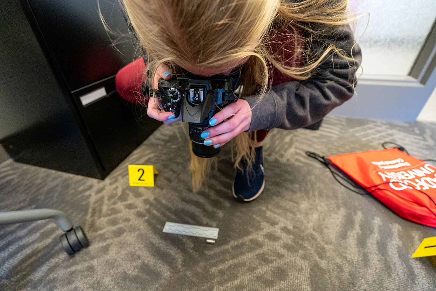
- Our students have a wide range of geospatial and environmental job opportunities in both the public and private sectors.
- Our students are top recruits for government agencies like the U.S. Forest Service and U.S. Geological Survey.
- In the private sector, our students are successful in GIS Analyst positions in companies ranging from big tech companies like ESRI and Google to environmental engineering firms like Timmons Group and Control Point Associates.
Opportunities for Geospatial students at Radford
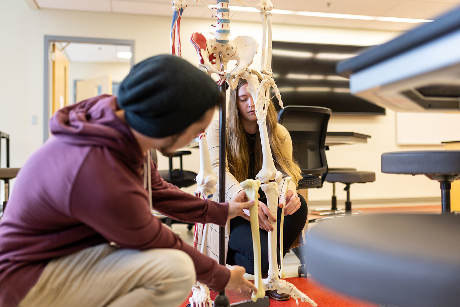
- All students have the opportunity to engage in student-faculty research in the Virtual Reality Lab, GIS Center, and Tree Ring Laboratory.
- Internship opportunities are available in both the public and private sectors, extending your learning outside the classroom.
- Student organizations like the Green Team Environmental Club and Geospatial Science Club provide opportunities to get active on campus and in the community.
-
80% of majors complete a research internship
-
100% of students complete a senior capstone project
-
100% of students gain hands-on learning experience
Study geospatial science in the classroom and around the world
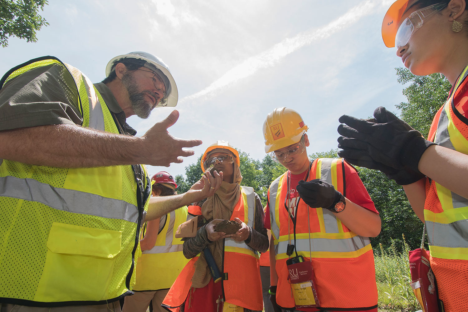
Students have the opportunity to conduct hands-on research with faculty members. For example, Stockton Maxwell, Ph.D., recruits students to conduct field research in both the Rocky Mountains and Peru!
“I remember seeing Dr. Foy and Dr. Maxwell talk about the geospatial science department and their eye-opening experiences with their studies. I had no idea what geospatial science was at the time, but I wanted to do it, and it was the best choice I have ever made. Radford University’s geospatial science department helped me realize my own potential.”