Radford University
Artis College of Science and Technology
Innovation and Discovery
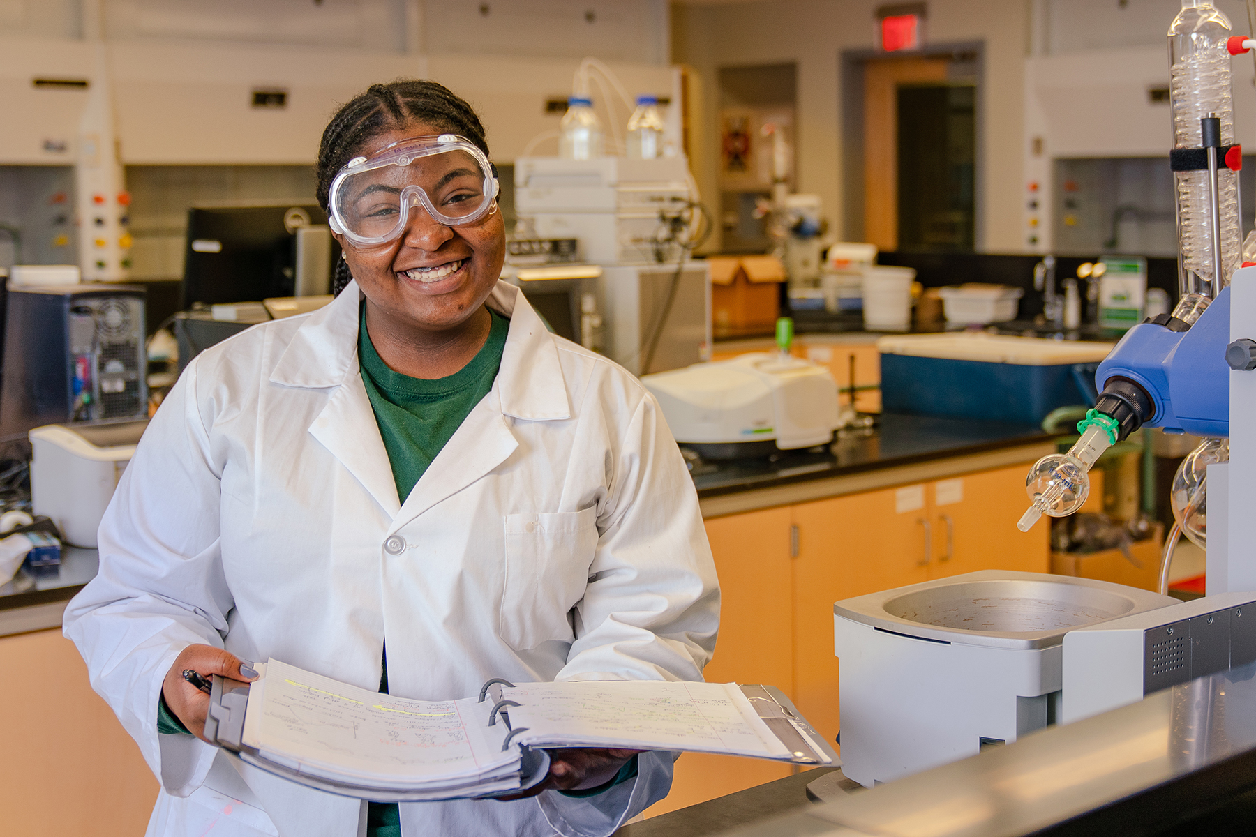
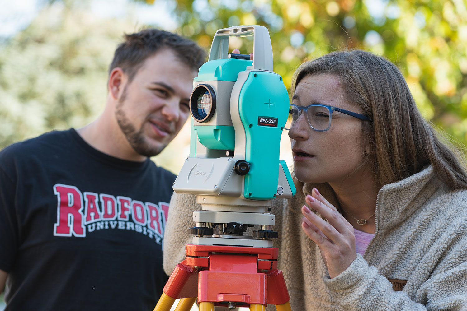
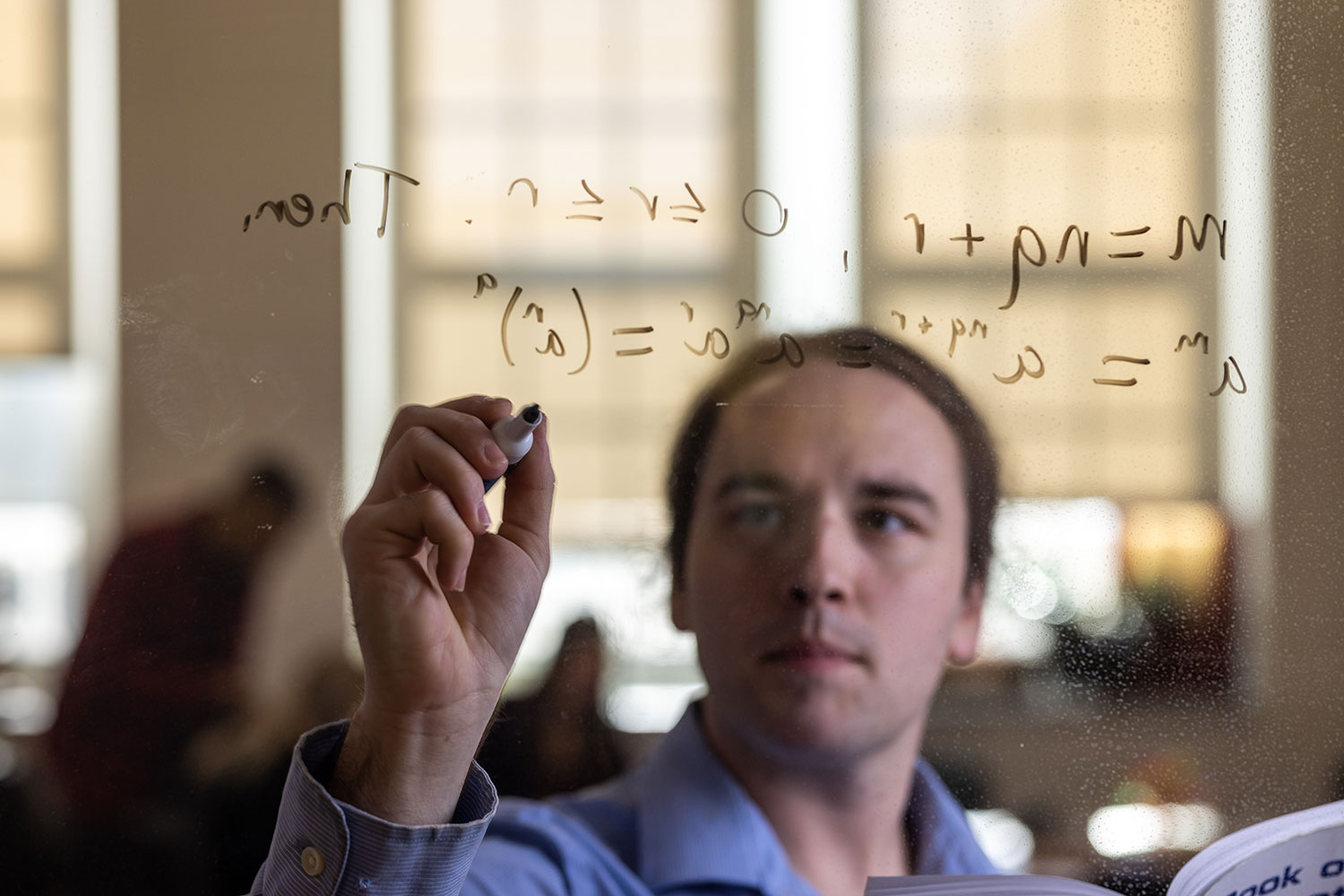
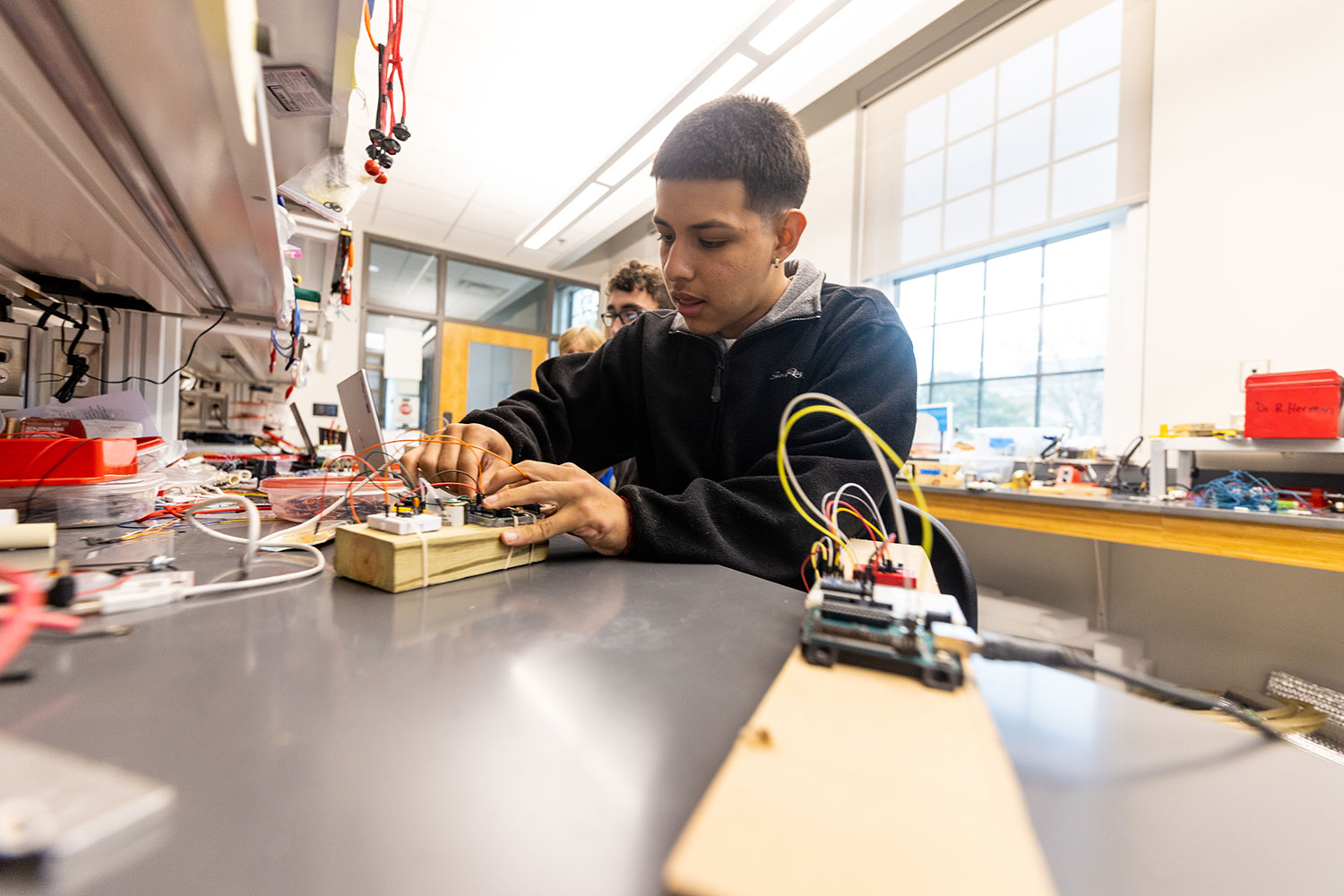
Breakthroughs in the science, technology, engineering and mathematics (STEM) fields are driving innovations that continuously transform our daily lives.
With this in mind, we prepare our students for successful careers in the STEM fields while actively engaging in real-world problem-solving.
Academic Departments and School

News
-
Cracking the code on a productive, fun spring break
April 9, 2026
Radford students explored spaces in England and France where some of the most significant moments in mathematical and human history have occurred.

-
Highlander Highlights: Week of March 23, 2026
March 27, 2026
Highlander Highlights shares with readers some of the extraordinary research and accomplishments happening on and off campus through the tireless work and curiosity of our students, staff, alumni and faculty.

-
Honors College senior gaining valuable hands-on experience in Radford’s behavioral and cognitive neuroscience lab
March 24, 2026
The psychology and biology double major is preparing brain tissue from rats as part of research that aims to find treatments for cannabis dependence in humans.
